Google Maps Platform Architecture Center

Discover use cases and architectures to help build apps with Google Maps Platform.

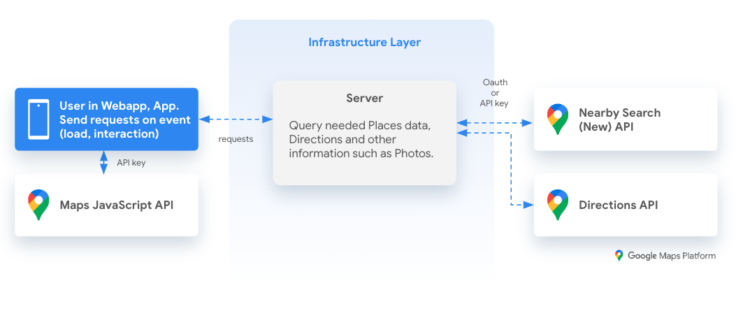
Learn how to use Nearby Search (New) API to build a simple and cost effective local discovery experience.
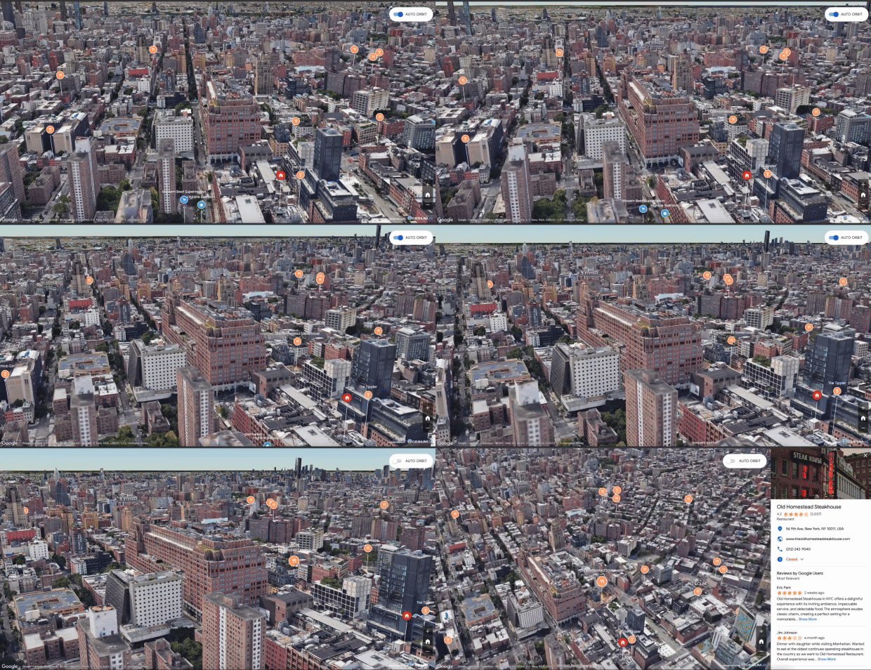
The 3D Area Explorer solution allows you to explore neighborhoods and areas virtually and in 3D with a high degree of visual detail, identify points of interest, and create immersive, interactive experiences using Google Maps Platform Photorealistic 3D Tiles and the Places API.
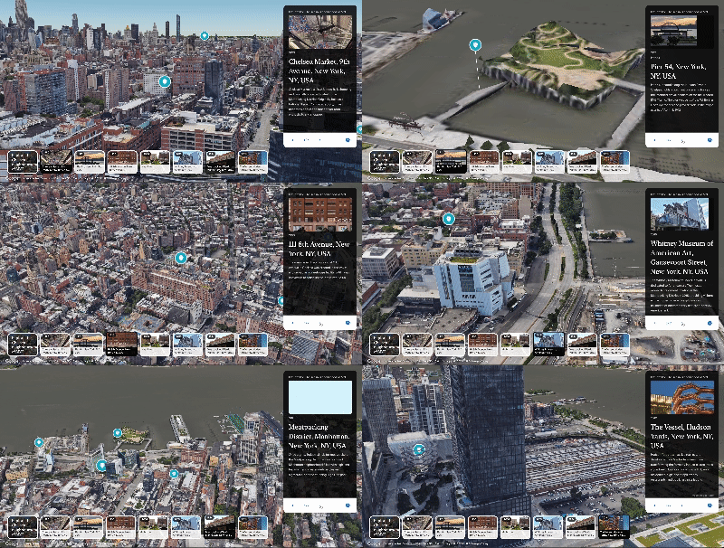
The 3D Storytelling solution bridges storytelling and mapping, enabling creators to craft immersive and interactive narratives using Photorealistic 3D Tiles.
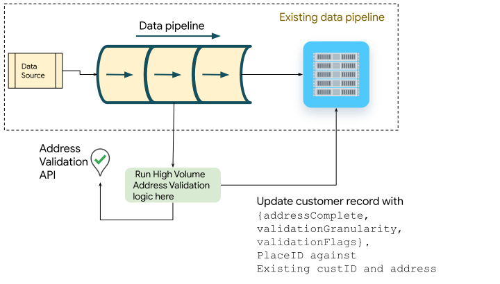
How to use the High Volume Address Validation under different scenarios, from API testing to one-time and recurring address validation.

Browse our catalog of architecture content

Filter By

Use case
Product area

Updated March 31, 2025

This document provides a reference architecture and example for creating map data visualizations with location data in Google Cloud BigQuery and Google Maps Platform Datasets API, such as analyzing open municipal data, creating a telecommunication

Updated March 31, 2025

This document is a refresh to an older article that used previous versions of the GMP APIs. This content is updated to the new version of the Places API launched in 2023-24 and Routes API launched in 2023. Typically when the user is driving to a

Updated March 31, 2025

Omnichannel shopping continues to be the new normal, with more and more shoppers using a variety of channels to research and purchase products. However, the physical shopping experience is still not frictionless. Outdoor to indoor mapping can help to

Updated March 31, 2025

You often have needs for validating the location of a place. There are a few different services in Google Maps Platform which can help you with this use case. This document helps you choose between the two primary location validation services -

Updated March 31, 2025

In this document, you will look into how to use Nearby Search (New) API to build a simple and cost effective local discovery experience. A local discovery experience shows users key places of interest near a location you specify when searching for a

Updated March 31, 2025

Short form video formats are widely used today because they hold a users' attention for longer periods of time. With this in mind, Google combined the power of short form video with 3D imagery to develop Aerial View; a synthetic drone-like video of a

Updated March 31, 2025

This guide will walk you through different ways the 3D Storytelling solution can be customized, allowing you to create captivating geolocation stories. You have the flexibility to configure their storytelling solution through two convenient methods.

Updated March 31, 2025

In a previous few articles we introduced the concept of High Volume Address Validation and how to use it in different scenarios. In this article we will take a look at a python library designed to help you get started quickly to implement High Volume

Updated March 31, 2025

Air Quality and Pollen APIs offer great opportunities to add more insights into a trip or map at any given location. There are two ways to consume the data available from those APIs: index as text or heatmap tiles as raster images. While using the