
Gemini Developer Solutions
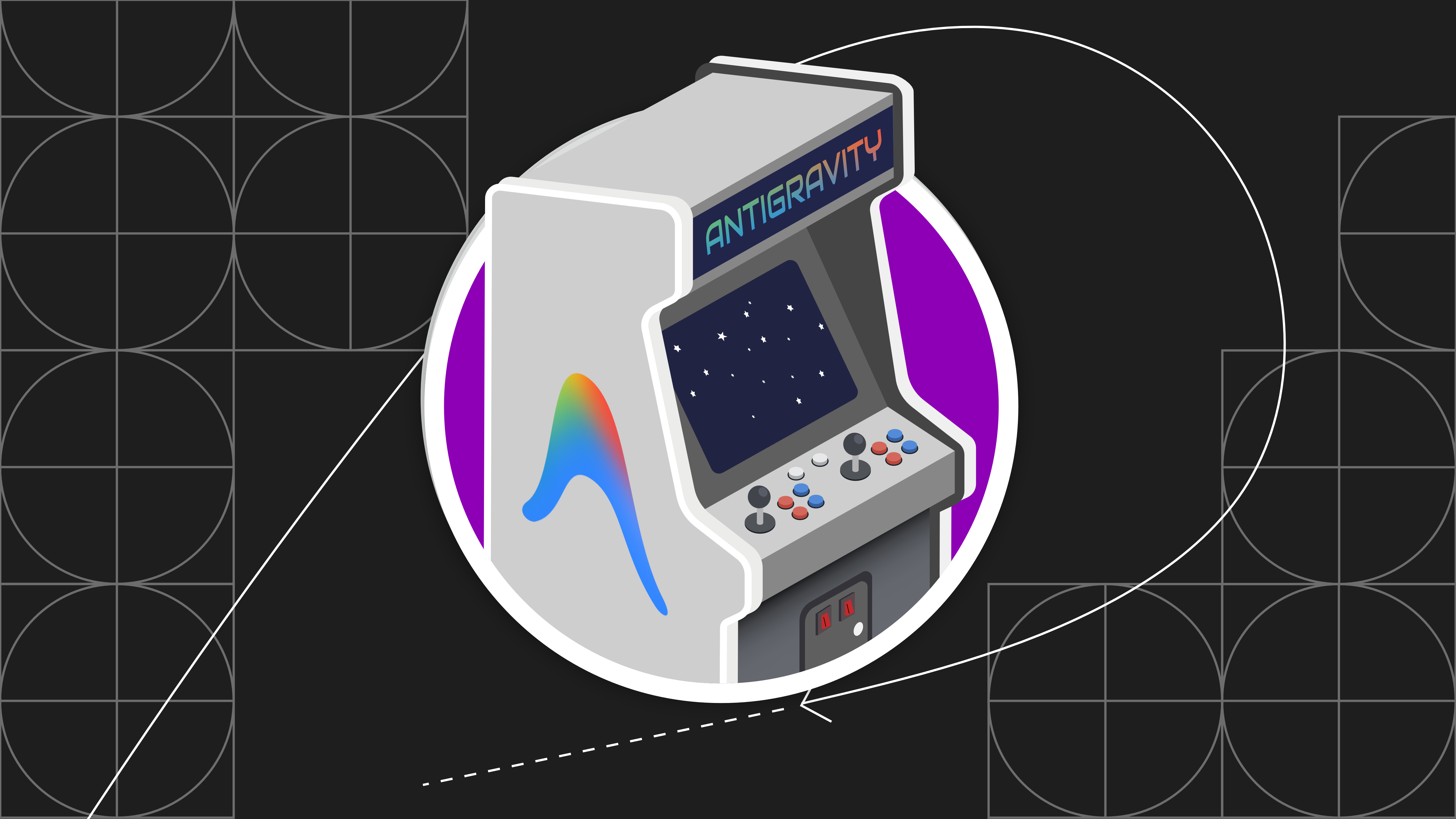
Antigravity Arcade: Build a retro arcade game with Gen AI via Antigravity
Learn how Antigravity and AI skills can generate web games in minutes with best practices skills and deployment workflows to an online games portal powered by Firebase and Google Cloud.
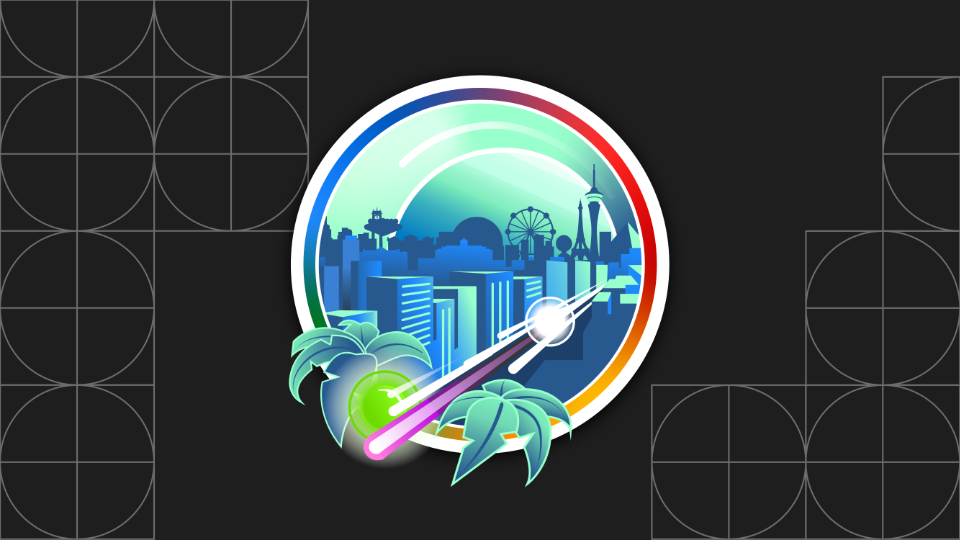
Race Condition: Explore a high-scale agentic AI-powered simulation with Gemini Enterprise Agent Platform
Learn how to use Google Cloud with cutting-edge agentic technologies to create a simulation for a city looking to plan and host a marathon.
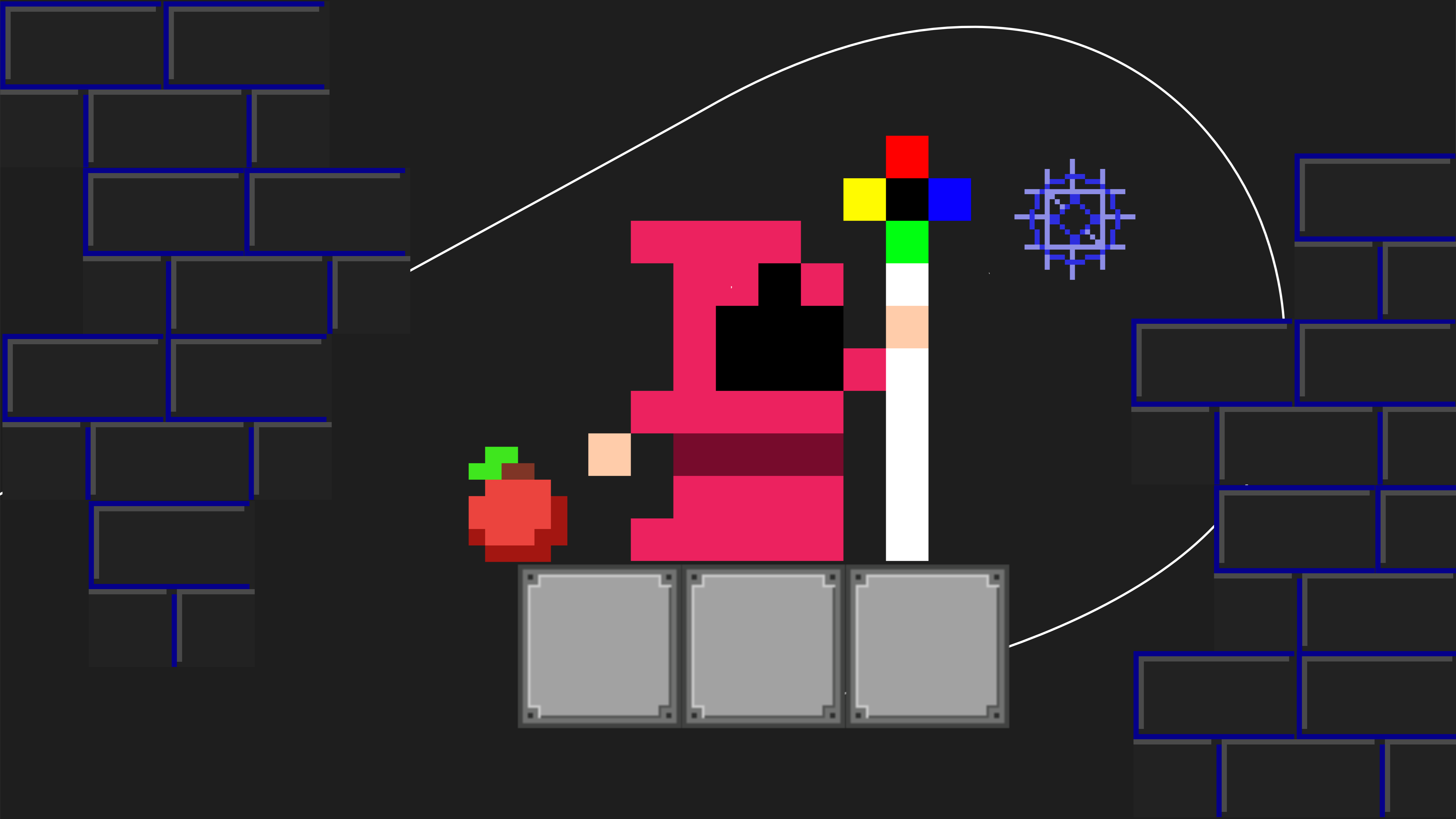
AIventure: Learning about vibe-coding, agents and Gen AI with Gemma 4
Learn how to create an AI-powered educational game focused on vibe-coding and agentic characters using Angular, PhaserJS, Gemini and Gemma.
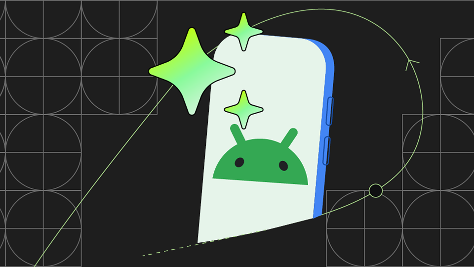
Androidify: Build a modern, AI-powered app for Android
Androidify yourself, with a selfie + AI using this modern Android app that combines Jetpack Compose for a stunning UI, the power of Gemini and Firebase for AI-driven features, and the use of CameraX for a seamless camera experience, all designed to be adaptive across various devices.
Grounded AI agents with Firebase Data Connect and your SQL database
Explore a full-stack architecture that combines a Next.JS frontend with a SQL database and Firebase Data Connect backend, using a Genkit agent, vector search and Retrieval-Augmented Generation (RAG) for intelligent, data-driven responses.
Living Canvas: Web-based puzzle game with Generative AI
Build dynamic web experiences that use Gemini, Imagen, and Veo to create real time responses to user's drawings. Explore the architecture that integrates a Gemini, Functions, and Firestore backend with Angular and PhaserJS on Firebase Hosting.
AI Barista: End-to-end architecture for Agentic apps
Build agentic experiences with Firebase and Google Cloud. Explore Genkit-powered agents that can respond to multimodal user inputs, use tool calling to orchestrate complex tasks and include human-in-the-loop flows.

Compass: Agent-powered travel planning app with Generative AI
Explore the GenKit and Flutter based architecture for building a multi-platform app that seamlessly integrates AI input with Retrieval-Augmented Generation (RAG).
Build an AI-powered meal preparation app for Android
Learn how to use Gemini in Android Studio, Firebase and Google technologies to build an engaging Android app.
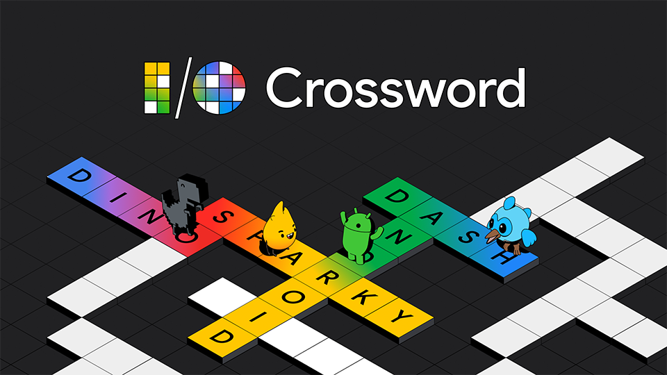
Multiplayer crossword with the Gemini API, Flutter, and Firebase
Learn how the Google engineering teams created a multiplayer crossword using Gemini, Flutter, and Firebase.
Getting started with the Gemini API and Web Apps
Learn how to use the Gemini API and the Google Gen AI SDK to prototype generative AI for web apps.
Generative AI in game development with Gemini and Gemma
Learn how generative AI can be used in different stages of game development from preproduction to in-game solutions using Gemini AI and Gemma model.
Image understanding, multimodal prompts and accessibility with the Gemini Pro Vision model
Learn how to use the multimodal features of the Gemini model to analyze HTML documents and image files for the purpose of adding accessible descriptions to a webpage in a NodeJS script.