Add a polyline to a map


      Stay organized with collections


      Save and categorize content based on your preferences.


You can add a polyline to a 3D map.
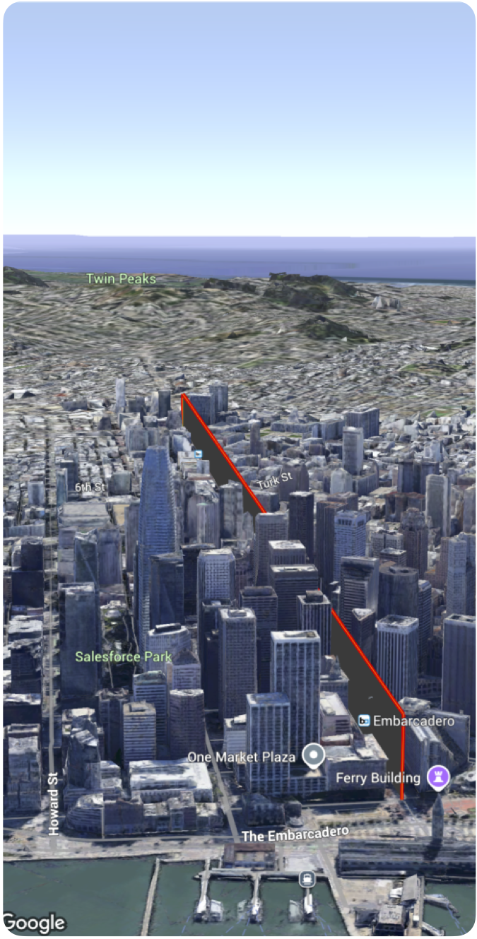
  The following code sample demonstrates how to use the Polyline struct to add a polyline and position it in 3D space.
  
    
        Swift
                  Polyline(coordinates: [
            .init(latitude: 37.7749, longitude: -122.4194, altitude: 100),
            .init(latitude: 37.7750, longitude: -122.4193, altitude: 100),
            .init(latitude: 37.7751, longitude: -122.4192, altitude: 100)
           ]
           .stroke(.init(strokeColor: .red, strokeWidth: 5.0, outerColor: .blue, outerWidth: 0.2))
           .contour(.init(isGeodesic: false, extruded: true, drawOccludedSegments: true)))


  Except as otherwise noted, the content of this page is licensed under the Creative Commons Attribution 4.0 License, and code samples are licensed under the Apache 2.0 License. For details, see the Google Developers Site Policies. Java is a registered trademark of Oracle and/or its affiliates.
  Last updated 2025-10-31 UTC.


      [null,null,["Last updated 2025-10-31 UTC."],[],[]]