
您可能需要创建纬度和经度边界来限制用户在 3D 地图中的移动,或者限制相机的高度、朝向或倾斜度。您可以通过配置地图和相机限制来实现此目的。
以下代码示例演示了如何使用 Map.cameraRestrictions 方法来限制相机的地理边界以及相机的高度、朝向和倾斜度值。
struct CameraRestrictionDemo: View {
var body: some View {
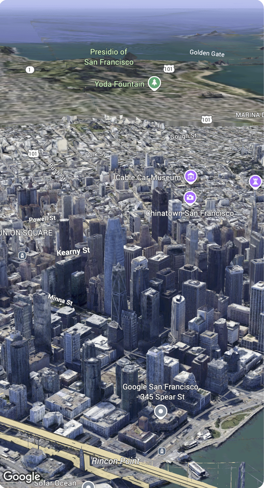
Map(initialCamera: .sanFrancisco, mode: .hybrid)
.cameraRestrictions([
.bounds(latitude: 37.7...37.8, longitude: (-122.5)...(-122.4))
])
}
}