Configure marker altitude
Stay organized with collections
Save and categorize content based on your preferences.
Select platform:
Android
iOS
This product or feature is Experimental (pre-GA).
Pre-GA products and features might have limited support, and changes to pre-GA products and
features might not be compatible with other pre-GA versions. Pre-GA Offerings are covered by
the Google
Maps Platform Service Specific Terms . For more information, see the
launch stage descriptions .
You can customize the altitude of markers that you add to a 3D map.
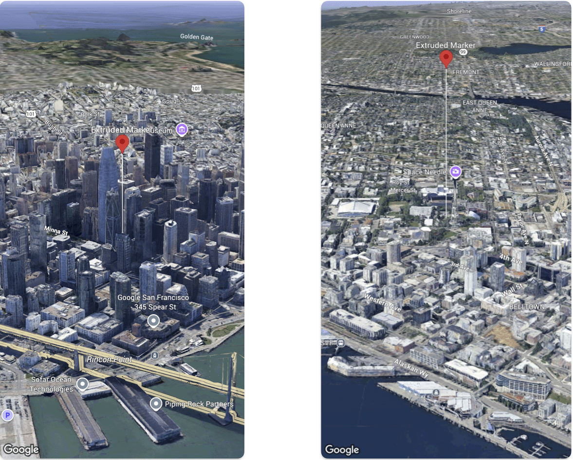
The following code sample demonstrates how use the Marker
struct configure the altitude and altitude mode of a marker to extrude it and set its altitude.
Swift
@ State var extrudedMarker : Marker = . init (
position : . init (
latitude : 37.78980534 ,
longitude : - 122.3969349 ,
altitude : 50.0 ),
altitudeMode : . relativeToGround ,
collisionBehavior : . required ,
extruded : true ,
drawsWhenOccluded : true ,
sizePreserved : true ,
zIndex : 0 ,
label : "Extruded marker"
)
Except as otherwise noted, the content of this page is licensed under the Creative Commons Attribution 4.0 License , and code samples are licensed under the Apache 2.0 License . For details, see the Google Developers Site Policies . Java is a registered trademark of Oracle and/or its affiliates.
Last updated 2025-09-12 UTC.
[null,null,["Last updated 2025-09-12 UTC."],[],[],null,[]]