Satellitenbildkacheln
Mit Sammlungen den Überblick behalten
Sie können Inhalte basierend auf Ihren Einstellungen speichern und kategorisieren.
Entwickler im Europäischen Wirtschaftsraum (EWR)
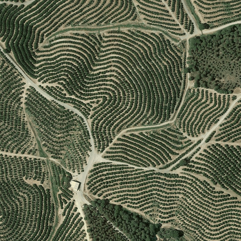
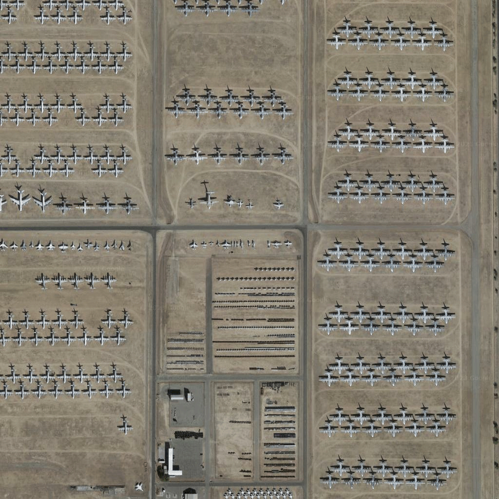
Satellitenbildkacheln sind eine Form der Orthophotografie. Sie bestehen aus Bildern, die sowohl von Satelliten- als auch von Flugzeugkameras aufgenommen wurden, und liefern Luftaufnahmen der Erde aus der Vogelperspektive (Nadir oder Fast-Nadir).
Satellitenbildkacheln abrufen
Nachdem Sie ein Sitzungstoken erhalten haben, können Sie mit dem Senden von Anfragen für Satellitenkacheln beginnen.
Da das Sitzungstoken für die gesamte Sitzung gilt, müssen Sie die Kartenoptionen nicht mit Ihren Kachelanfragen angeben.
Das folgende Codebeispiel zeigt eine typische Anfrage für ein Sitzungstoken für Satellitenkacheln.
curl -X POST -d '{
"mapType": "satellite",
"language": "en-US",
"region": "US"
}' \
-H 'Content-Type: application/json' \
"https://tile.googleapis.com/v1/createSession?key=YOUR_API_KEY
Sie erhalten Satellitenkacheln, indem Sie eine HTTPS-GET-Anfrage senden, wie im folgenden Beispiel gezeigt.
curl "https://tile.googleapis.com/v1/2dtiles/z/x/y?session=YOUR_SESSION_TOKEN&key=YOUR_API_KEY"
Beispiel für eine Kachelanfrage
Im folgenden Codebeispiel wird eine einzelne Satellitenkachel auf Zoomstufe 15 mit den X- und Y-Koordinaten (6294, 13288) angefordert.
curl "https://tile.googleapis.com/v1/2dtiles/15/6294/13288?session=YOUR_SESSION_TOKEN&key=YOUR_API_KEY" --output /tmp/example_tile.png
In diesem Beispiel gibt es keine Antwortnachricht vom Server. Stattdessen wird die Kachel nur in eine lokale Datei heruntergeladen.

Informationen zu Antwortnachrichtenheadern finden Sie unter Inhalte vorab abrufen, zwischenspeichern oder speichern.
Sofern nicht anders angegeben, sind die Inhalte dieser Seite unter der Creative Commons Attribution 4.0 License und Codebeispiele unter der Apache 2.0 License lizenziert. Weitere Informationen finden Sie in den Websiterichtlinien von Google Developers. Java ist eine eingetragene Marke von Oracle und/oder seinen Partnern.
Zuletzt aktualisiert: 2025-09-04 (UTC).
[null,null,["Zuletzt aktualisiert: 2025-09-04 (UTC)."],[[["\u003cp\u003eSatellite image tiles are a type of orthophotography providing top-down imagery of the earth, captured by satellite and airborne cameras.\u003c/p\u003e\n"],["\u003cp\u003eTo request satellite tiles, you need to obtain a session token using your API key, specifying map type, language, and region.\u003c/p\u003e\n"],["\u003cp\u003eYou can then download individual tiles by making HTTPS GET requests, including the zoom level (z), x and y coordinates, session token, and API key in the URL.\u003c/p\u003e\n"],["\u003cp\u003eAn example request shows downloading a tile at zoom level 15 with specific coordinates to a local file, with no server response message besides the downloaded tile.\u003c/p\u003e\n"]]],["Satellite image tiles are top-down images from satellite or airborne cameras. To obtain them, first, request a session token via a POST request, including map type, language, and region. Then, make an HTTPS GET request to retrieve a specific tile by providing zoom level, x and y coordinates, session token, and API key. The requested tile is downloaded directly to a local file without a server response message. An example demonstrates getting a tile at zoom 15 with coordinates (6294, 13288).\n"],null,["# Satellite tiles\n\n**European Economic Area (EEA) developers** If your billing address is in the European Economic Area, effective on 8 July 2025, the [Google\n| Maps Platform EEA Terms of Service](https://cloud.google.com/terms/maps-platform/eea) will apply to your use of the Services. [Learn more](/maps/comms/eea/faq). In addition, certain content from the Map Tiles API will no longer be returned. [Learn more](/maps/comms/eea/map-tiles).\n\nSatellite image tiles are a form of orthophotography. They're\nimages captured by both satellite and airborne cameras, and they deliver\ntop-down (nadir or near-nadir) imagery of the earth.\n\nGetting satellite tiles\n-----------------------\n\nYou can begin making satellite tile requests after you get a session token.\nBecause the session token applies to the entire session, you don't have to\nspecify the map options with your tile requests.\n\nThe following code sample demonstrates a typical session token request for\nsatellite tiles. \n\n```json\ncurl -X POST -d '{\n \"mapType\": \"satellite\",\n \"language\": \"en-US\",\n \"region\": \"US\"\n}' \\\n-H 'Content-Type: application/json' \\\n\"https://tile.googleapis.com/v1/createSession?key=YOUR_API_KEY\n```\n\nYou get satellite tiles by making an HTTPS GET request, as shown in the\nfollowing example. \n\n```json\ncurl \"https://tile.googleapis.com/v1/2dtiles/\u003cvar class=\"apiparam\" translate=\"no\"\u003ez\u003c/var\u003e/\u003cvar class=\"apiparam\" translate=\"no\"\u003ex\u003c/var\u003e/\u003cvar class=\"apiparam\" translate=\"no\"\u003ey\u003c/var\u003e?session=\u003cvar class=\"apiparam\" translate=\"no\"\u003eYOUR_SESSION_TOKEN\u003c/var\u003e&key=YOUR_API_KEY\"\n```\n\nExample tile request\n--------------------\n\nConsider the following code example, that requests a single satellite tile at\nzoom level 15, with x and y coordinates of (6294, 13288). \n\n```json\ncurl \"https://tile.googleapis.com/v1/2dtiles/15/6294/13288?session=\u003cvar class=\"apiparam\" translate=\"no\"\u003eYOUR_SESSION_TOKEN\u003c/var\u003e&key=YOUR_API_KEY\" --output /tmp/example_tile.png\n```\n\nThere is no response message from the server in this example. Instead, the tile\njust downloads to a local file.\n\nFor information about response message headers, see\n[Pre-Fetching, Caching, or Storage of Content](/maps/documentation/tile/policies#pre-fetching,-caching,-or-storage-of-content)."]]