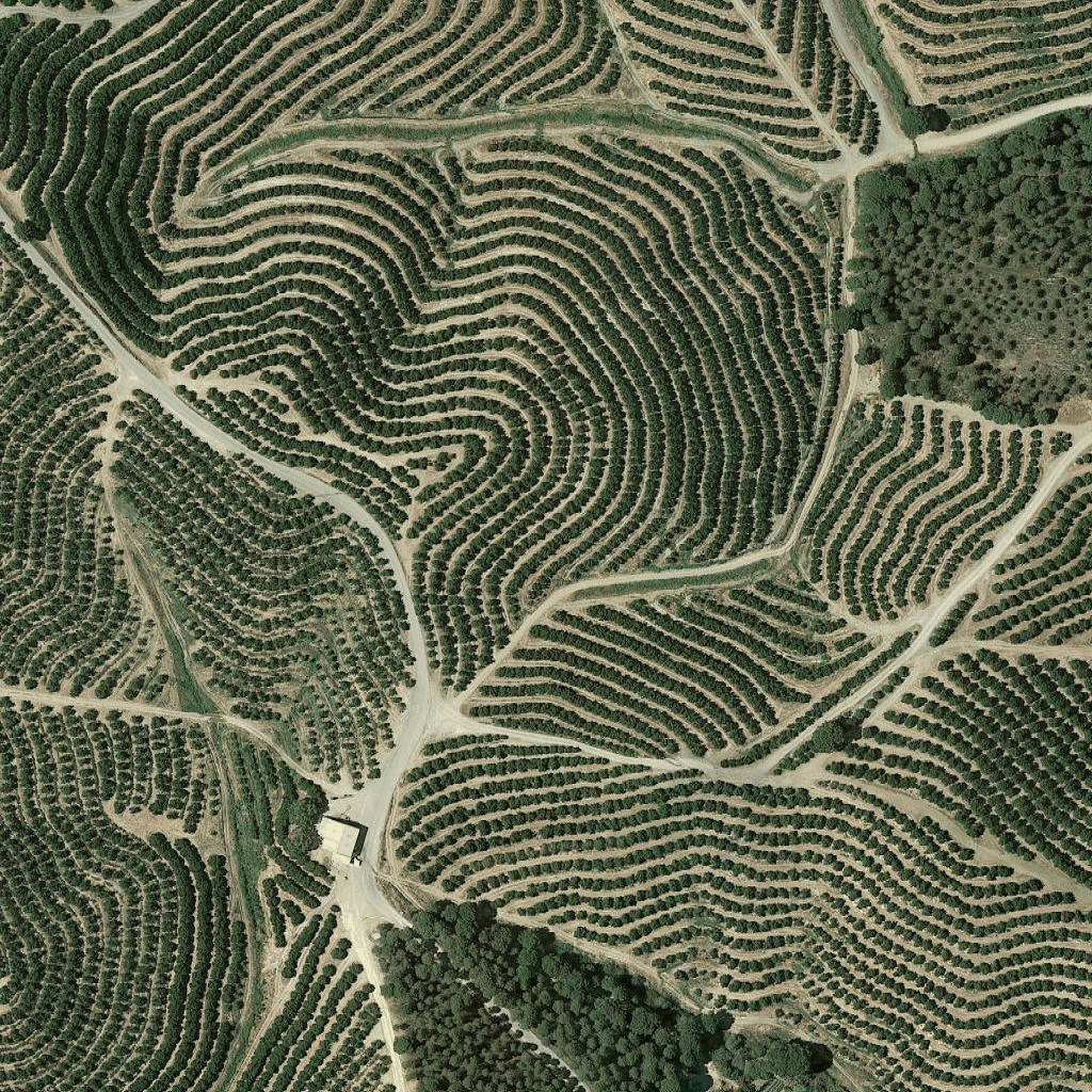
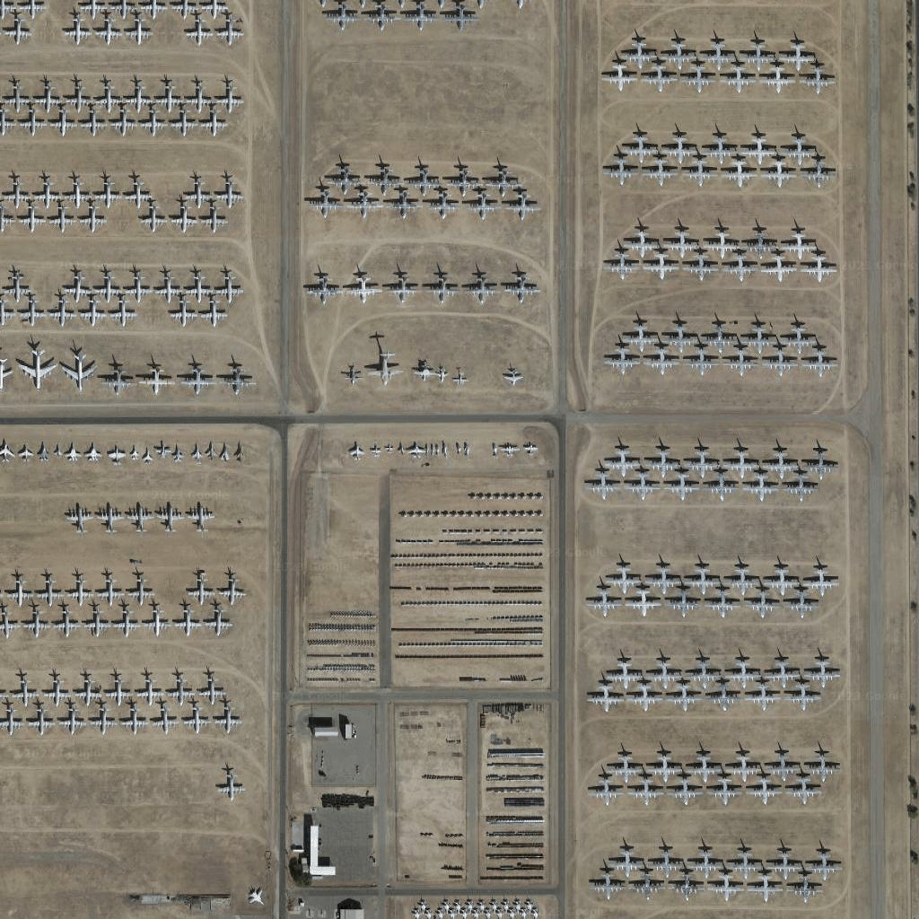
کاشی های ماهواره ای
با مجموعهها، منظم بمانید
ذخیره و طبقهبندی محتوا براساس اولویتهای شما.
توسعه دهندگان منطقه اقتصادی اروپا (EEA).
کاشی های تصویر ماهواره ای شکلی از عکاسی ارتوپدی هستند. آنها تصاویری هستند که هم توسط دوربین های ماهواره ای و هم توسط دوربین های هوابرد گرفته شده اند و تصاویری از بالا به پایین (نادیر یا نزدیک به نادر) از زمین ارائه می دهند.
گرفتن کاشی های ماهواره ای
پس از دریافت رمز جلسه، میتوانید درخواستهای کاشی ماهوارهای را شروع کنید. از آنجا که نشانه جلسه برای کل جلسه اعمال می شود، لازم نیست گزینه های نقشه را با درخواست های کاشی خود مشخص کنید.
نمونه کد زیر یک درخواست نشانه جلسه معمولی برای کاشی های ماهواره ای را نشان می دهد.
curl -X POST -d '{
"mapType": "satellite",
"language": "en-US",
"region": "US"
}' \
-H 'Content-Type: application/json' \
"https://tile.googleapis.com/v1/createSession?key=YOUR_API_KEY
همانطور که در مثال زیر نشان داده شده است، با درخواست HTTPS GET، کاشی های ماهواره ای را دریافت می کنید.
curl "https://tile.googleapis.com/v1/2dtiles/z/x/y?session=YOUR_SESSION_TOKEN&key=YOUR_API_KEY"
نمونه درخواست کاشی
مثال کد زیر را در نظر بگیرید، که یک کاشی ماهواره ای را در سطح بزرگنمایی 15 درخواست می کند، با مختصات x و y (6294، 13288).
curl "https://tile.googleapis.com/v1/2dtiles/15/6294/13288?session=YOUR_SESSION_TOKEN&key=YOUR_API_KEY" --output /tmp/example_tile.png
در این مثال هیچ پیام پاسخی از طرف سرور وجود ندارد. در عوض، کاشی فقط در یک فایل محلی دانلود می شود.

برای اطلاعات در مورد سرصفحههای پیام پاسخ، به Pre-Fetching، Caching یا Storage of Content مراجعه کنید.
جز در مواردی که غیر از این ذکر شده باشد،محتوای این صفحه تحت مجوز Creative Commons Attribution 4.0 License است. نمونه کدها نیز دارای مجوز Apache 2.0 License است. برای اطلاع از جزئیات، به خطمشیهای سایت Google Developers مراجعه کنید. جاوا علامت تجاری ثبتشده Oracle و/یا شرکتهای وابسته به آن است.
تاریخ آخرین بهروزرسانی 2025-08-29 بهوقت ساعت هماهنگ جهانی.
[null,null,["تاریخ آخرین بهروزرسانی 2025-08-29 بهوقت ساعت هماهنگ جهانی."],[[["\u003cp\u003eSatellite image tiles are a type of orthophotography providing top-down imagery of the earth, captured by satellite and airborne cameras.\u003c/p\u003e\n"],["\u003cp\u003eTo request satellite tiles, you need to obtain a session token using your API key, specifying map type, language, and region.\u003c/p\u003e\n"],["\u003cp\u003eYou can then download individual tiles by making HTTPS GET requests, including the zoom level (z), x and y coordinates, session token, and API key in the URL.\u003c/p\u003e\n"],["\u003cp\u003eAn example request shows downloading a tile at zoom level 15 with specific coordinates to a local file, with no server response message besides the downloaded tile.\u003c/p\u003e\n"]]],["Satellite image tiles are top-down images from satellite or airborne cameras. To obtain them, first, request a session token via a POST request, including map type, language, and region. Then, make an HTTPS GET request to retrieve a specific tile by providing zoom level, x and y coordinates, session token, and API key. The requested tile is downloaded directly to a local file without a server response message. An example demonstrates getting a tile at zoom 15 with coordinates (6294, 13288).\n"],null,["# Satellite tiles\n\n**European Economic Area (EEA) developers** If your billing address is in the European Economic Area, effective on 8 July 2025, the [Google\n| Maps Platform EEA Terms of Service](https://cloud.google.com/terms/maps-platform/eea) will apply to your use of the Services. [Learn more](/maps/comms/eea/faq). In addition, certain content from the Map Tiles API will no longer be returned. [Learn more](/maps/comms/eea/map-tiles).\n\nSatellite image tiles are a form of orthophotography. They're\nimages captured by both satellite and airborne cameras, and they deliver\ntop-down (nadir or near-nadir) imagery of the earth.\n\nGetting satellite tiles\n-----------------------\n\nYou can begin making satellite tile requests after you get a session token.\nBecause the session token applies to the entire session, you don't have to\nspecify the map options with your tile requests.\n\nThe following code sample demonstrates a typical session token request for\nsatellite tiles. \n\n```json\ncurl -X POST -d '{\n \"mapType\": \"satellite\",\n \"language\": \"en-US\",\n \"region\": \"US\"\n}' \\\n-H 'Content-Type: application/json' \\\n\"https://tile.googleapis.com/v1/createSession?key=YOUR_API_KEY\n```\n\nYou get satellite tiles by making an HTTPS GET request, as shown in the\nfollowing example. \n\n```json\ncurl \"https://tile.googleapis.com/v1/2dtiles/\u003cvar class=\"apiparam\" translate=\"no\"\u003ez\u003c/var\u003e/\u003cvar class=\"apiparam\" translate=\"no\"\u003ex\u003c/var\u003e/\u003cvar class=\"apiparam\" translate=\"no\"\u003ey\u003c/var\u003e?session=\u003cvar class=\"apiparam\" translate=\"no\"\u003eYOUR_SESSION_TOKEN\u003c/var\u003e&key=YOUR_API_KEY\"\n```\n\nExample tile request\n--------------------\n\nConsider the following code example, that requests a single satellite tile at\nzoom level 15, with x and y coordinates of (6294, 13288). \n\n```json\ncurl \"https://tile.googleapis.com/v1/2dtiles/15/6294/13288?session=\u003cvar class=\"apiparam\" translate=\"no\"\u003eYOUR_SESSION_TOKEN\u003c/var\u003e&key=YOUR_API_KEY\" --output /tmp/example_tile.png\n```\n\nThere is no response message from the server in this example. Instead, the tile\njust downloads to a local file.\n\nFor information about response message headers, see\n[Pre-Fetching, Caching, or Storage of Content](/maps/documentation/tile/policies#pre-fetching,-caching,-or-storage-of-content)."]]