Blocos de satélite
Mantenha tudo organizado com as coleções
Salve e categorize o conteúdo com base nas suas preferências.
Desenvolvedores do Espaço Econômico Europeu (EEE)
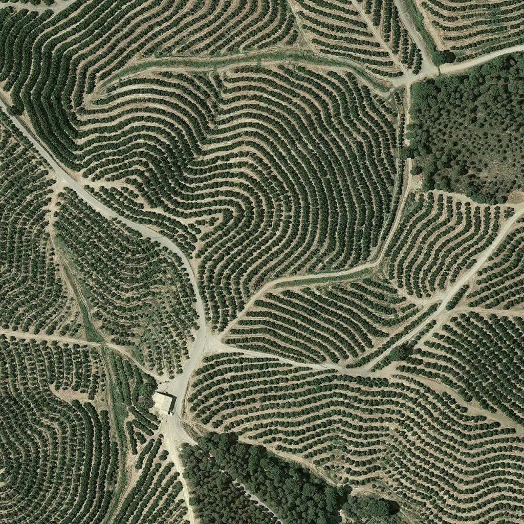
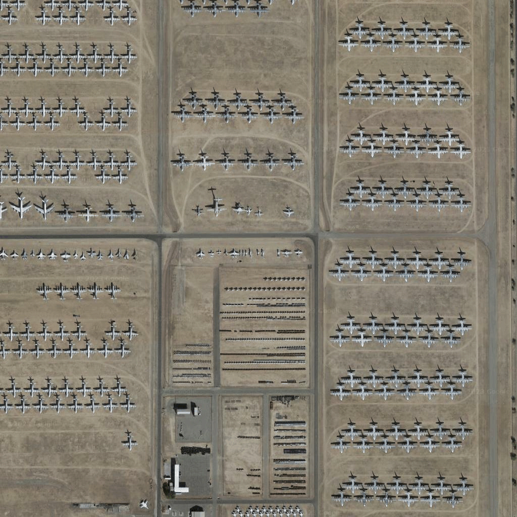
Os blocos de imagens de satélite são uma forma de ortofotografia. São imagens capturadas por câmeras de satélite e aéreas, que fornecem imagens de cima para baixo (nadir ou quase nadir) da Terra.
Como receber blocos de satélite
Você pode começar a fazer solicitações de blocos de satélite depois de receber um token de sessão.
Como o token de sessão se aplica a toda a sessão, não é necessário
especificar as opções de mapa com as solicitações de bloco.
O exemplo de código a seguir demonstra uma solicitação típica de token de sessão para blocos de satélite.
curl -X POST -d '{
"mapType": "satellite",
"language": "en-US",
"region": "US"
}' \
-H 'Content-Type: application/json' \
"https://tile.googleapis.com/v1/createSession?key=YOUR_API_KEY
Para receber blocos de satélite, faça uma solicitação HTTPS GET, como mostrado no exemplo a seguir.
curl "https://tile.googleapis.com/v1/2dtiles/z/x/y?session=YOUR_SESSION_TOKEN&key=YOUR_API_KEY"
Exemplo de solicitação de bloco
Considere o exemplo de código a seguir, que solicita um único bloco de satélite no nível de zoom 15, com coordenadas x e y de (6294, 13288).
curl "https://tile.googleapis.com/v1/2dtiles/15/6294/13288?session=YOUR_SESSION_TOKEN&key=YOUR_API_KEY" --output /tmp/example_tile.png
Não há uma mensagem de resposta do servidor neste exemplo. Em vez disso, o bloco
é baixado para um arquivo local.

Para informações sobre cabeçalhos de mensagens de resposta, consulte
Pré-busca, armazenamento em cache ou armazenamento de conteúdo.
Exceto em caso de indicação contrária, o conteúdo desta página é licenciado de acordo com a Licença de atribuição 4.0 do Creative Commons, e as amostras de código são licenciadas de acordo com a Licença Apache 2.0. Para mais detalhes, consulte as políticas do site do Google Developers. Java é uma marca registrada da Oracle e/ou afiliadas.
Última atualização 2025-09-04 UTC.
[null,null,["Última atualização 2025-09-04 UTC."],[[["\u003cp\u003eSatellite image tiles are a type of orthophotography providing top-down imagery of the earth, captured by satellite and airborne cameras.\u003c/p\u003e\n"],["\u003cp\u003eTo request satellite tiles, you need to obtain a session token using your API key, specifying map type, language, and region.\u003c/p\u003e\n"],["\u003cp\u003eYou can then download individual tiles by making HTTPS GET requests, including the zoom level (z), x and y coordinates, session token, and API key in the URL.\u003c/p\u003e\n"],["\u003cp\u003eAn example request shows downloading a tile at zoom level 15 with specific coordinates to a local file, with no server response message besides the downloaded tile.\u003c/p\u003e\n"]]],["Satellite image tiles are top-down images from satellite or airborne cameras. To obtain them, first, request a session token via a POST request, including map type, language, and region. Then, make an HTTPS GET request to retrieve a specific tile by providing zoom level, x and y coordinates, session token, and API key. The requested tile is downloaded directly to a local file without a server response message. An example demonstrates getting a tile at zoom 15 with coordinates (6294, 13288).\n"],null,["# Satellite tiles\n\n**European Economic Area (EEA) developers** If your billing address is in the European Economic Area, effective on 8 July 2025, the [Google\n| Maps Platform EEA Terms of Service](https://cloud.google.com/terms/maps-platform/eea) will apply to your use of the Services. [Learn more](/maps/comms/eea/faq). In addition, certain content from the Map Tiles API will no longer be returned. [Learn more](/maps/comms/eea/map-tiles).\n\nSatellite image tiles are a form of orthophotography. They're\nimages captured by both satellite and airborne cameras, and they deliver\ntop-down (nadir or near-nadir) imagery of the earth.\n\nGetting satellite tiles\n-----------------------\n\nYou can begin making satellite tile requests after you get a session token.\nBecause the session token applies to the entire session, you don't have to\nspecify the map options with your tile requests.\n\nThe following code sample demonstrates a typical session token request for\nsatellite tiles. \n\n```json\ncurl -X POST -d '{\n \"mapType\": \"satellite\",\n \"language\": \"en-US\",\n \"region\": \"US\"\n}' \\\n-H 'Content-Type: application/json' \\\n\"https://tile.googleapis.com/v1/createSession?key=YOUR_API_KEY\n```\n\nYou get satellite tiles by making an HTTPS GET request, as shown in the\nfollowing example. \n\n```json\ncurl \"https://tile.googleapis.com/v1/2dtiles/\u003cvar class=\"apiparam\" translate=\"no\"\u003ez\u003c/var\u003e/\u003cvar class=\"apiparam\" translate=\"no\"\u003ex\u003c/var\u003e/\u003cvar class=\"apiparam\" translate=\"no\"\u003ey\u003c/var\u003e?session=\u003cvar class=\"apiparam\" translate=\"no\"\u003eYOUR_SESSION_TOKEN\u003c/var\u003e&key=YOUR_API_KEY\"\n```\n\nExample tile request\n--------------------\n\nConsider the following code example, that requests a single satellite tile at\nzoom level 15, with x and y coordinates of (6294, 13288). \n\n```json\ncurl \"https://tile.googleapis.com/v1/2dtiles/15/6294/13288?session=\u003cvar class=\"apiparam\" translate=\"no\"\u003eYOUR_SESSION_TOKEN\u003c/var\u003e&key=YOUR_API_KEY\" --output /tmp/example_tile.png\n```\n\nThere is no response message from the server in this example. Instead, the tile\njust downloads to a local file.\n\nFor information about response message headers, see\n[Pre-Fetching, Caching, or Storage of Content](/maps/documentation/tile/policies#pre-fetching,-caching,-or-storage-of-content)."]]