Page Summary
-
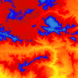
The USGS 3DEP 10m National Map Seamless dataset provides a seamless DEM for the U.S., including full coverage of the 48 conterminous states, Hawaii, U.S. territories, and partial and expanding coverage of Alaska.
-
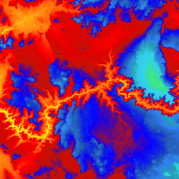
The USGS 3DEP 1m National Map is a tiled collection of 1m pixel size images from the 3D Elevation Program (3DEP), serving as the elevation layer of The National Map.
-
The USGS 3DEP National Map Spatial Metadata 1/3 Arc-Second (10m) provides metadata for the 3DEP 10m DEM asset, including lidar data availability, quality level, acquisition dates, and links to project metadata.
-
USGS 3DEP 10m National Map Seamless (1/3 Arc-Second)
This is the seamless 3DEP DEM dataset for the U.S. with full coverage of the 48 conterminous states, Hawaii, and U.S. territories. Alaska coverage is partially available now and is being expanded to statewide coverage as part of the Alaska Mapping Initiative. Ground spacing is … 3dep dem elevation elevation-topography geophysical topography -
USGS 3DEP 1m National Map
This is a tiled collection of images with 1m pixel size from the 3D Elevation Program (3DEP). The 3DEP data holdings serve as the elevation layer of The National Map and provide foundational elevation information for earth science studies and mapping applications in the United … 3dep dem elevation elevation-topography geophysical topography -
USGS 3DEP National Map Spatial Metadata 1/3 Arc-Second (10m)
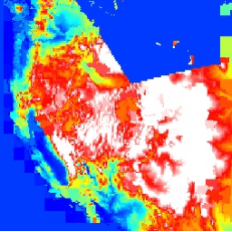
This is a table with metadata for the 3DEP 10m DEM asset. The Work unit Extent Spatial Metadata (WESM) contains current lidar data availability and basic information about lidar projects, including lidar quality level, data acquisition dates, and links to project-level metadata. See more details … 3dep elevation-topography table usgs