-
GHSL:全球建筑物高度 2018 年(P2023A)

此空间栅格数据集描绘了 2018 年全球建筑物高度分布情况,分辨率为 100 米。用于预测建筑物高度的输入数据包括 ALOS 全球数字地表模型 (30 m)、NASA 航天飞机雷达地形任务 … alos building built built-environment builtup copernicus -
GHSL:全球建筑体积 1975-2030 年 (P2023A)

此栅格数据集描绘了建筑物体积的全球分布情况,以每 100 米网格单元的立方米数表示。该数据集用于衡量总建筑体积以及分配给主要为非住宅 (NRES) 用途的网格单元的建筑体积。估算值基于累积的… alos building built-environment copernicus dem ghsl -
GHSL:全球聚落特征(10 米)2018 年 (P2023A)
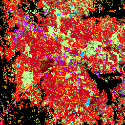
此空间栅格数据集以 10 米分辨率划定人类住区,并根据建成环境的功能和高度相关组成部分描述其内部特征。如需详细了解 GHSL 数据产品,请参阅 GHSL Data Package 2023 报告… 建筑物 建成区 建成区 哥白尼 ghsl 高度 -
Open Buildings V3 多边形
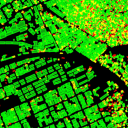
此大规模开放数据集包含从高分辨率 50 厘米卫星图像中提取的建筑物轮廓。该数据集包含非洲、拉丁美洲、加勒比地区、南亚和东南亚的 18 亿个建筑物检测结果。推断范围覆盖了 5,800 万平方公里的区域。此数据集中的每栋建筑物… 非洲 亚洲 建筑物 建成区 开放式建筑物 人口
Datasets tagged building in Earth Engine
[null,null,[],[],["The content describes four datasets focused on building data. One dataset, \"Open Buildings V3 Polygons,\" provides 1.8 billion building outlines derived from 50 cm satellite imagery across Africa, Latin America, the Caribbean, and South and Southeast Asia. The other three, from GHSL, provide spatial raster data describing human settlements at 10m resolution with functional and height characteristics; global building heights at 100m resolution; and global building volume from 1975-2030 in cubic meters.\n"]]