-
GHSL:全球建筑物高度 2018 年(P2023A)

此空间栅格数据集描绘了 2018 年全球建筑物高度分布情况,分辨率为 100 米。用于预测建筑物高度的输入数据包括 ALOS 全球数字地表模型 (30 m)、NASA 航天飞机雷达地形任务 … alos building built built-environment builtup copernicus -
GHSL:全球建成区地表 10 米分辨率 (P2023A)

此栅格数据集描绘了 2018 年从 S2 影像数据中观测到的建成区地表分布情况,以每 10 米网格单元的平方米数表示。这些数据集用于衡量:a) 总建成区面积;b) 分配给网格单元的建成区面积(… built built-environment builtup copernicus ghsl jrc -
GHSL:全球建成区地表 1975-2030 年 (P2023A)
此栅格数据集描绘了建成地表的分布情况,以每 100 米网格单元的平方米数表示。该数据集衡量了以下指标:a) 总建成区地表,以及 b) 分配给以非住宅 (NRES) 用途为主的网格单元的建成区地表。数据经过时空插值或… built built-environment builtup copernicus ghsl jrc -
GHSL:全球聚落特征(10 米)2018 年 (P2023A)
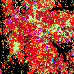
此空间栅格数据集以 10 米分辨率划定人类住区,并根据建成环境的功能和高度相关组成部分描述其内部特征。如需详细了解 GHSL 数据产品,请参阅 GHSL Data Package 2023 报告… 建筑物 建成区 建成区 哥白尼 ghsl 高度 -
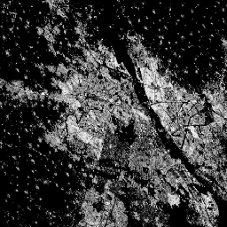
清华大学 FROM-GLC 年变化到不透水表面

此数据集包含 1985 年至 2018 年全球不透水地表面积的年度变化信息,分辨率为 30 米。从透水到不透水的变化是使用监督分类和时间一致性检查相结合的方法确定的。不透水像素是指不透水率高于 50% 的像素。… 建成区 人口 清华 城市
Datasets tagged built in Earth Engine
[null,null,[],[],[]]