-
指定:USGS GAP PAD-US v2.0
PAD-US 是美国官方的国家级陆地和海洋保护区清单,这些保护区致力于保护生物多样性以及其他自然、休闲和文化用途,并通过法律或其他有效手段进行管理,以实现这些目的。此数据库分为… conservation-easements designation infrastructure-boundaries management ownership protected-areas -
地役权:USGS GAP PAD-US v2.0

PAD-US 是美国官方的国家级陆地和海洋保护区清单,这些保护区致力于保护生物多样性以及其他自然、休闲和文化用途,并通过法律或其他有效手段进行管理,以实现这些目的。此数据库分为… conservation-easements designation infrastructure-boundaries management ownership protected-areas -
费用:USGS GAP PAD-US v2.0

PAD-US 是美国官方的国家级陆地和海洋保护区清单,这些保护区致力于保护生物多样性以及其他自然、休闲和文化用途,并通过法律或其他有效手段进行管理,以实现这些目的。此数据库分为… conservation-easements designation infrastructure-boundaries management ownership protected-areas -
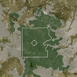
声明:USGS GAP PAD-US v2.0
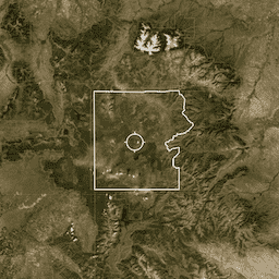
PAD-US 是美国官方的国家级陆地和海洋保护区清单,这些保护区致力于保护生物多样性以及其他自然、休闲和文化用途,并通过法律或其他有效手段进行管理,以实现这些目的。此数据库分为… conservation-easements designation infrastructure-boundaries management ownership protected-areas
Datasets tagged conservation-easements in Earth Engine
[null,null,[],[],[]]