Page Summary
-
Orthophotos are aerial photo datasets covering Estonia.
-
Orthophotos are processed aerial photos with distortions caused by terrain, camera tilt, and central projection removed.
-
The datasets include both RGB and monochrome orthophotos.
-
Both regular and low-flying orthophoto datasets are available.
-
Estonia RGB low flying orthophotos
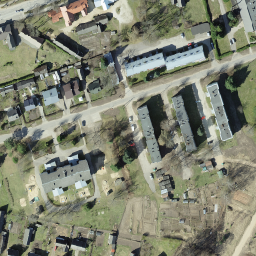
Orthophotos are an aerial photo dataset covering Estonia. An orthophoto is a processed aerial photo from which distortions caused by terrain relief, camera tilt relative to the ground at the moment of exposure and camera central projection are removed. A digital orthophoto has a certain … estonia low-flying orthophotos rgb -
Estonia RGB orthophotos
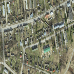
Orthophotos are an aerial photo dataset covering Estonia. An orthophoto is a processed aerial photo from which distortions caused by terrain relief, camera tilt relative to the ground at the moment of exposure and camera central projection are removed. A digital orthophoto has a certain … estonia orthophotos rgb -
Estonia mono low flying orthophotos
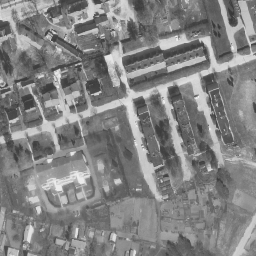
Orthophotos are an aerial photo dataset covering Estonia. An orthophoto is a processed aerial photo from which distortions caused by terrain relief, camera tilt relative to the ground at the moment of exposure and camera central projection are removed. A digital orthophoto has a certain … estonia low-flying orthophotos -
Estonia mono orthophotos
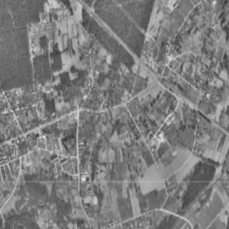
Orthophotos are an aerial photo dataset covering Estonia. An orthophoto is a processed aerial photo from which distortions caused by terrain relief, camera tilt relative to the ground at the moment of exposure and camera central projection are removed. A digital orthophoto has a certain … estonia orthophotos