-
GHSL:全球建筑物高度 2018 年(P2023A)

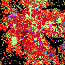
此空间栅格数据集描绘了 2018 年全球建筑物高度分布情况,分辨率为 100 米。用于预测建筑物高度的输入数据包括 ALOS 全球数字地表模型 (30 m)、NASA 航天飞机雷达地形任务 … alos building built built-environment builtup copernicus -
GHSL:全球聚落特征(10 米)2018 年 (P2023A)
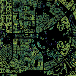
此空间栅格数据集以 10 米分辨率划定人类住区,并根据建成环境的功能和高度相关组成部分描述其内部特征。如需详细了解 GHSL 数据产品,请参阅 GHSL Data Package 2023 报告… 建筑物 建成区 建成区 哥白尼 ghsl 高度 -
Open Buildings Temporal V1
Open Buildings 2.5D 时间数据集包含 2016 年至 2023 年的年度建筑存在数据、建筑分数和建筑高度数据,有效空间分辨率为 4 米(栅格以 0.5 米分辨率提供)。它是由来自…的开源低分辨率图像制作而成 africa annual asia built-up height open-buildings
Datasets tagged height in Earth Engine
[null,null,[],[],["The Open Buildings Temporal Dataset offers annual data from 2016-2023 on building presence, counts, and heights at a 4m resolution, derived from low-resolution imagery. The GHSL dataset provides 10m resolution data on human settlements, detailing built environment characteristics and heights. Another GHSL dataset maps global building heights at 100m resolution for 2018, using data from sources like the ALOS Global Digital Surface Model.\n"]]