-
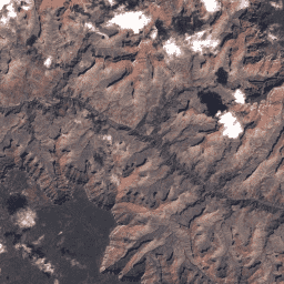
USGS Landsat 8 Collection 2 Tier 1 原始场景

Landsat 8 Collection 2 Tier 1 DN 值,表示经过缩放和校准的传感器处辐射亮度。数据质量最高的 Landsat 场景会放入第 1 级,并被认为适合进行时间序列处理分析。第 1 级包括经过 L1TP 处理的数据,这些数据具有… c2 全球 l8 陆地卫星 lc8 oli-tirs -
USGS Landsat 8 Collection 2 Tier 1 和实时数据原始场景
Landsat 8 集合 2 Tier 1 和实时数据 DN 值,表示经过缩放和校准的传感器处辐射率。数据质量最高的 Landsat 场景会放入第 1 级,并被认为适合进行时间序列处理分析。第 1 级包括经过处理的 1 级精确度地形 (L1TP) … c2 global l8 landsat lc8 nrt -
USGS Landsat 8 Collection 2 Tier 1 和实时数据的大气表观反射率

Landsat 8 Collection 2 Tier 1 和实时数据经过校准的大气表观 (TOA) 反射率。从图片元数据中提取校准系数。有关 TOA 计算的详细信息,请参阅 Chander 等人 (2009) 的文章。数据质量最高的可用的 Landsat 场景会放入第 1 级… c2 global l8 landsat lc8 satellite-imagery -
USGS Landsat 8 Collection 2 Tier 2 原始场景

Landsat 8 Collection 2 Tier 2 DN 值,表示经过缩放和校准的传感器处辐射亮度。在处理过程中,不符合第 1 层级条件的场景会被分配到第 2 层级。这包括系统地形 (L1GT) 和系统 (L1GS) 处理的场景,以及任何不…的 L1TP 场景 c2 全球 l8 陆地卫星 lc8 oli-tirs
Datasets tagged l8 in Earth Engine
[null,null,[],[],["Landsat 8 Collection 2 data offers raw scenes in Tier 1 and Tier 2, with Tier 1 representing the highest quality data, suitable for time-series analysis and processed to Level-1 Precision Terrain (L1TP). Tier 2 includes lower quality scenes such as Systematic terrain (L1GT) and Systematic (L1GS). Additionally, Tier 1 and Real-Time data provide scaled, calibrated at-sensor radiance and calibrated top-of-atmosphere (TOA) reflectance.\n"]]