-
USGS Landsat 9 Collection 2 Tier 1 原始场景

Landsat 9 Collection 2 Tier 1 DN 值,表示经过缩放和校准的传感器处辐射。数据质量最高的 Landsat 场景被归入 Tier 1,并被认为适合进行时序处理分析。Tier 1 包含经过 Level-1 精确地形 (L1TP) 处理的数据,这些数据具有… c2 global l9 landsat lc9 oli-tirs -
USGS Landsat 9 Collection 2 Tier 2 原始场景

Landsat 9 Collection 2 Tier 2 DN 值,表示经过缩放和校准的传感器处辐射。在处理期间不符合 Tier 1 标准的场景会被分配到 Tier 2。这包括经过系统地形 (L1GT) 和系统 (L1GS) 处理的场景,以及任何不符合… 的 L1TP 场景 c2 global l9 landsat lc9 oli-tirs -
USGS Landsat 9 Collection 2 Tier 2 TOA 反射率
Landsat 9 Collection 2 Tier 2 经过校准的大气表观 (TOA) 反射率。校准系数是从图像元数据中提取的。如需详细了解 TOA 计算,请参阅 Chander 等人 (2009)。在处理期间不符合 Tier 1 标准的场景会被分配到 Tier 2。这包括系统… c2 global l9 landsat lc9 satellite-imagery
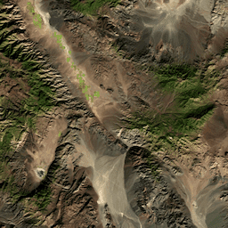
Datasets tagged l9 in Earth Engine
[null,null,[],[],["Landsat 9 Collection 2 data is categorized into Tiers 1 and 2. Tier 1 includes scenes with the highest data quality, suitable for time-series analysis, and are represented by Level-1 Precision Terrain (L1TP) processed data. Tier 2 data, including Systematic terrain (L1GT) and Systematic (L1GS) processed scenes, do not meet Tier 1 standards. Tier 2 also includes top-of-atmosphere (TOA) reflectance data with calibration coefficients extracted from image metadata.\n"]]