-
USGS Landsat 9 Level 2,Collection 2,Tier 1
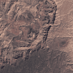
此数据集包含大气校正后的地表反射率和地表温度,这些数据均源自 Landsat 9 OLI/TIRS 传感器生成的数据。这些影像包含 5 个可见光和近红外 (VNIR) 波段以及 2 个短波红外 (SWIR) 波段,经过处理后可获得正射校正的地表反射率,以及 1 个热红外波段。 cfmask cloud fmask global l9sr landsat -
USGS Landsat 9 Level 2,Collection 2,Tier 2

此数据集包含大气校正后的地表反射率和地表温度,这些数据均源自 Landsat 9 OLI/TIRS 传感器生成的数据。这些影像包含 5 个可见光和近红外 (VNIR) 波段以及 2 个短波红外 (SWIR) 波段,经过处理后可获得正射校正的地表反射率,以及 1 个热红外波段。 cfmask cloud fmask global l9sr landsat
Datasets tagged l9sr in Earth Engine
[null,null,[],[],["The Landsat 9 Level 2 datasets (Collection 2, Tier 1 and Tier 2) provide atmospherically corrected surface reflectance and land surface temperature. Data is derived from Landsat 9 OLI/TIRS sensors. Each image includes five visible and near-infrared (VNIR) bands, two short-wave infrared (SWIR) bands, and one thermal band. All bands are processed to orthorectified surface reflectance. These datasets are tagged with keywords such as cfmask, cloud, fmask, global, l9sr, and landsat.\n"]]