-
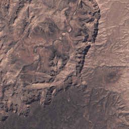
USGS Landsat 4 Level 2,Collection 2,Tier 1

此数据集包含大气校正后的地表反射率和从 Landsat TM 传感器生成的数据中得出的地表温度。这些影像包含 4 个可见光和近红外 (VNIR) 波段以及 2 个经过处理的短波红外 (SWIR) 波段(正射校正的地表反射率),以及 1 个热红外波段。 cfmask cloud fmask global landsat lasrc -
USGS Landsat 4 Level 2,Collection 2,Tier 2

此数据集包含大气校正后的地表反射率和从 Landsat TM 传感器生成的数据中得出的地表温度。这些影像包含 4 个可见光和近红外 (VNIR) 波段以及 2 个经过处理的短波红外 (SWIR) 波段(正射校正的地表反射率),以及 1 个热红外波段。 cfmask cloud fmask global landsat lasrc
Datasets tagged lt04 in Earth Engine
[null,null,[],[],["The datasets provide atmospherically corrected surface reflectance and land surface temperature from the Landsat TM sensor. Each contains imagery with four visible and near-infrared (VNIR) bands, two short-wave infrared (SWIR) bands, and one thermal infrared band. The data is orthorectified and available in two tiers, Collection 2, Tier 1 and Tier 2. They both use cloud masking techniques cfmask and fmask.\n"]]
