-
TIGER:2020 年制表(人口普查)街区
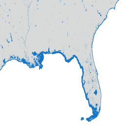
美国人口普查局会定期发布名为 TIGER 的地理数据库。此数据集包含 2020 年的人口普查街区,大致相当于一个城市街区。有 800 多万个多边形地图项,涵盖美国、哥伦比亚特区、波多黎各和岛屿 … 人口普查 城市 基础设施边界 社区 表 tiger -
TIGER:美国人口普查街区组 (BG) 2010
美国人口普查局会定期发布名为 TIGER 的地理数据库。此数据集包含 2010 年的人口普查街区组,即同一人口普查区内的一组街区,这些街区的四位数人口普查街区编号的第一位数字相同。有 … 人口普查 城市 基础设施边界 社区 表 tiger -
TIGER:美国人口普查街区组 (BG) 2020

美国人口普查局会定期发布名为 TIGER 的地理数据库。此数据集包含 2020 年的人口普查街区组,即同一人口普查区内的一组街区,这些街区的四位数人口普查街区编号的第一位数字相同。有 … 人口普查 城市 基础设施边界 社区 表 tiger -
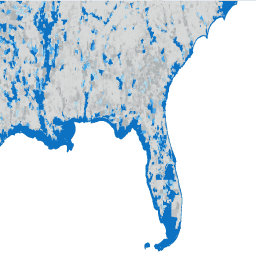
TIGER:美国人口普查街区
美国人口普查局会定期发布名为 TIGER 的地理数据库。此数据集包含 2010 年的人口普查街区,大致相当于一个城市街区。有 1100 多万个多边形地图项,涵盖美国、哥伦比亚特区、波多黎各和岛屿 … 人口普查 城市 基础设施边界 社区 表 tiger -
TIGER:美国人口普查区

美国人口普查局会定期发布名为 TIGER 的地理数据库。此数据集包含 2020 年的人口普查区。人口普查区的面积差异很大,但在城市地区大致相当于一个社区。有 85000 多个多边形地图项,涵盖美国、哥伦比亚特区 … 人口普查 城市 基础设施边界 社区 表 tiger
Datasets tagged neighborhood in Earth Engine
[null,null,[],[],[]]