-
ASTER L1T 辐射

注意:由于 ASTER 仪器存在技术问题,2024 年 11 月 28 日至 2025 年 1 月 16 日期间的数据收集存在缺口。如需了解详情,请参阅 USGS 公告。先进星载热发射和反射辐射计 (ASTER) 是一种多光谱成像仪,… aster imagery nasa nir radiance satellite-imagery -
PROBA-V C1 冠层顶部每日合成 100 米

Proba-V 是一项卫星任务,旨在绘制土地覆盖和植被生长情况。它旨在为 SPOT-4 和 SPOT-5 任务中的 VGT 光学仪器提供连续性。该传感器在三个 VNIR(可见光和近红外)波段和一个 SWIR(短波… esa multispectral nir proba probav satellite-imagery -
PROBA-V C1 冠层顶部每日合成 333 米
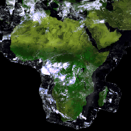
Proba-V 是一项卫星任务,旨在绘制土地覆盖和植被生长情况。它旨在为 SPOT-4 和 SPOT-5 任务中的 VGT 光学仪器提供连续性。该传感器在三个 VNIR(可见光和近红外)波段和一个 SWIR(短波… esa multispectral nir proba probav satellite-imagery
Datasets tagged nir in Earth Engine
[null,null,[],[],[]]