-
芬兰 NRG NLS 正射影像(50 厘米)- Mavi
NLS 正射影像是覆盖整个芬兰的航空照片数据集。这些数据由 Mavi(农村事务局)提供。正射影像是多张单独的航空照片的组合。正射影像格式的航空照片数据集可作为最新数据集使用… falsecolor finland nrg orthophotos -
芬兰 NRG NLS 正射影像(50 厘米)- SMK

NLS 正射影像是覆盖整个芬兰的航空照片数据集。这些数据由 SMK(能源署,前身为 SMK)提供。正射影像是多张单独的航空照片的组合。正射影像格式的航空照片数据集可作为最… falsecolor finland nrg orthophotos smk -
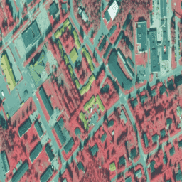
拉脱维亚彩色红外 (CIR) 正射影像

在拉脱维亚,正射影像地图是根据 TKS-93 地图图幅划分(比例为 1:10000 的地图图幅对应于实际的 5 x 5 公里)在拉脱维亚坐标系 LKS-92 TM 中制作的。正射影像地图已准备好,覆盖拉脱维亚全境,比例为 … latvia nrg orthophotos
Datasets tagged nrg in Earth Engine
[null,null,[],[],[]]