-
Open Buildings Temporal V1
Open Buildings 2.5D Temporal 数据集包含有关建筑物存在情况、建筑物数量(以分数形式表示)和建筑物高度的数据,有效空间分辨率为 4 米(栅格以 0.5 米分辨率提供),时间范围为 2016 年至 2023 年,每年更新一次。该数据集由 … 的开源低分辨率图像生成 africa annual asia built-up height open-buildings -
Open Buildings V3 Polygons
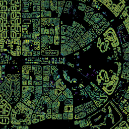
这个大规模开放数据集包含从高分辨率 50 厘米卫星图像中提取的建筑物轮廓。它包含非洲、拉丁美洲、加勒比地区、南亚和东南亚的 18 亿个建筑物检测结果。推断区域面积为 5800 万平方公里。对于此数据集中的每个建筑物,… africa asia building built-up open-buildings population
Datasets tagged open-buildings in Earth Engine
[null,null,[],[],[]]