-
FAO GAUL 500m Simplified: Global Administrative Unit Layers 2015, First-Level Administrative Units

此版本的 GAUL 数据集已简化为 500 米。全球行政区划层 (GAUL) 汇编并传播有关世界各国行政区划的最佳可用信息,有助于实现表示行政区划的空间数据集的标准化。… 边界 部门 fao gaul infrastructure-boundaries 省份 -
FAO GAUL:2015 年全球行政区划层级,一级行政区
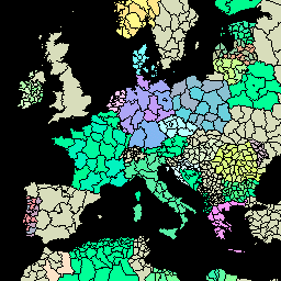
全球行政区划层 (GAUL) 汇编并传播有关世界各国行政区划的最佳可用信息,有助于实现表示行政区划的空间数据集的标准化。GAUL 始终维护具有统一 … 的全球图层 边界 部门 fao gaul infrastructure-boundaries 省份
Datasets tagged provinces in Earth Engine
[null,null,[],[],["The Global Administrative Unit Layers (GAUL) datasets compile and distribute information on administrative units worldwide, aiming to standardize spatial datasets. These datasets, including a 500m simplified version, offer unified global layers representing administrative divisions for each country. The layers include information on borders, departments, provinces, and states. The GAUL provides information on the first administrative level.\n"]]