-
FAO GAUL 500m Simplified:全球行政单位图层 2015,一级行政单位

此版本的 GAUL 数据集已简化为 500 米。全球行政单位图层 (GAUL) 汇编并传播了有关世界各国行政单位的最佳可用信息,为代表行政单位的空间数据集的标准化做出了贡献。… borders departments fao gaul infrastructure-boundaries provinces -
FAO GAUL:全球行政单位图层 2015,一级行政单位
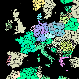
全球行政单位图层 (GAUL) 汇编并传播了有关世界各国行政单位的最佳可用信息,为代表行政单位的空间数据集的标准化做出了贡献。GAUL 始终维护具有统一… 的全球图层 borders departments fao gaul infrastructure-boundaries provinces -
TIGER:美国人口普查州 2016

美国人口普查局 TIGER 数据集包含美国主要政府部门的 2016 年边界。除了 50 个州之外,人口普查局还包括哥伦比亚特区、波多黎各和每个岛屿地区(美属萨摩亚、… census infrastructure-boundaries state states table tiger -
TIGER:美国人口普查州 2018
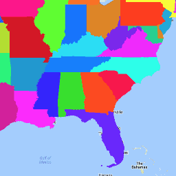
美国人口普查局 TIGER 数据集包含美国主要政府部门的 2018 年边界。除了 50 个州之外,人口普查局还包括哥伦比亚特区、波多黎各和每个岛屿地区(美属萨摩亚、… census infrastructure-boundaries state states table tiger
Datasets tagged states in Earth Engine
[null,null,[],[],["The Global Administrative Unit Layers (GAUL) datasets compile and share information on administrative units worldwide, standardizing spatial data representation. One version is simplified to 500m. The US Census Bureau TIGER datasets provide the 2016 and 2018 boundaries for primary US governmental divisions, including states, the District of Columbia, Puerto Rico, and island areas.\n"]]