-
NICFI 卫星数据计划热带森林监测底图 - 非洲
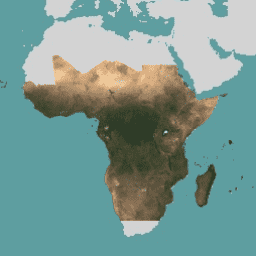
此图片集提供对热带地区高分辨率卫星监测数据的访问权限,主要目的是减少和扭转热带森林的损失,为应对气候变化、保护生物多样性、促进森林再生、恢复和增强以及促进可持续发展做出贡献,所有这些都 … basemaps forest nicfi planet planet-nicfi publisher-dataset -
NICFI 卫星数据计划热带森林监测底图 - 美洲
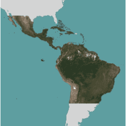
此图片集提供对热带地区高分辨率卫星监测数据的访问权限,主要目的是减少和扭转热带森林的损失,为应对气候变化、保护生物多样性、促进森林再生、恢复和增强以及促进可持续发展做出贡献,所有这些都 … basemaps forest nicfi planet planet-nicfi publisher-dataset -
NICFI 卫星数据计划热带森林监测底图 - 亚洲
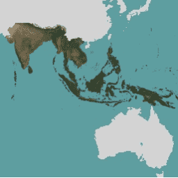
此图片集提供对热带地区高分辨率卫星监测数据的访问权限,主要目的是减少和扭转热带森林的损失,为应对气候变化、保护生物多样性、促进森林再生、恢复和增强以及促进可持续发展做出贡献,所有这些都 … basemaps forest nicfi planet planet-nicfi publisher-dataset
Datasets tagged tropics in Earth Engine
[null,null,[],[],[]]