FAO GAUL 500m Simplified: Глобальные административные слои 2015, границы стран 
Эта версия набора данных GAUL упрощена до 500 м. Глобальные слои административных единиц (GAUL) собирают и распространяют наилучшую доступную информацию об административных единицах для всех стран мира, внося вклад в стандартизацию набора пространственных данных, представляющего административные единицы. … границы стран ФАО Галлия инфраструктура-границы таблица FAO GAUL 500m Simplified: Глобальные административные уровни 2015, административные единицы первого уровня 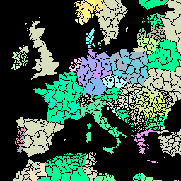
Эта версия набора данных GAUL упрощена до 500 м. Глобальные слои административных единиц (GAUL) собирают и распространяют наилучшую доступную информацию об административных единицах для всех стран мира, внося вклад в стандартизацию набора пространственных данных, представляющего административные единицы. … пограничные департаменты ФАО- Гаули инфраструктура-границы провинций FAO GAUL 500m Simplified: Глобальные административные уровни 2015, административные единицы второго уровня 
Эта версия набора данных GAUL упрощена до 500 м. Глобальные слои административных единиц (GAUL) собирают и распространяют наилучшую доступную информацию об административных единицах для всех стран мира, внося вклад в стандартизацию набора пространственных данных, представляющего административные единицы. … границы округов ФАО- Гаула инфраструктура -границы ФАО ГАУЛ: Глобальные административные единицы 2015, Границы стран 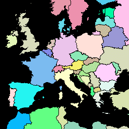
Глобальные слои административных единиц (GAUL) собирают и распространяют наиболее актуальную информацию об административных единицах всех стран мира, внося вклад в стандартизацию набора пространственных данных, представляющего административные единицы. GAUL всегда поддерживает глобальные слои с унифицированным… границы стран ФАО Галлия инфраструктура-границы таблица FAO GAUL: Глобальные административные единицы 2015, Административные единицы первого уровня 
Глобальные слои административных единиц (GAUL) собирают и распространяют наиболее актуальную информацию об административных единицах всех стран мира, внося вклад в стандартизацию набора пространственных данных, представляющего административные единицы. GAUL всегда поддерживает глобальные слои с унифицированным… пограничные департаменты ФАО- Гаули инфраструктура-границы провинций FAO GAUL: Глобальные административные единицы 2015, Административные единицы второго уровня 
Глобальные слои административных единиц (GAUL) собирают и распространяют наиболее актуальную информацию об административных единицах всех стран мира, внося вклад в стандартизацию набора пространственных данных, представляющего административные единицы. GAUL всегда поддерживает глобальные слои с унифицированным… границы округов ФАО- Гаула инфраструктура -границы
Datasets tagged un in Earth Engine
[null,null,[],[],[]]