-
LSIB 2017:大规模国际边界多边形,详细

美国地理学家办公室提供大规模国际边界 (LSIB) 数据集。它源自另外两个数据集:LSIB 线矢量文件和美国国家地理空间情报局 (NGA) 的世界矢量海岸线 (WVS)。内部边界反映了美国政府… 边界 国家/地区 dos 基础设施边界 政治 表格 -
LSIB 2017:简化的大规模国际边界多边形
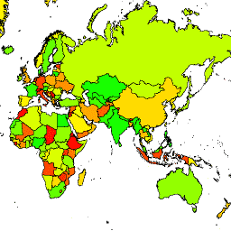
美国地理学家办公室提供大规模国际边界 (LSIB) 数据集。详细版本 (2013) 派生自另外两个数据集:LSIB 线矢量文件和美国国家地理空间情报局 (NGA) 的世界矢量海岸线 (WVS)。内部边界… 边界 国家/地区 dos 基础设施边界 政治 表格
Datasets tagged usdos in Earth Engine
[null,null,[],[],["The US Office of the Geographer provides the Large Scale International Boundary (LSIB) dataset. The dataset comes in two versions: detailed and simplified, both derived from an LSIB line vector file and the National Geospatial-Intelligence Agency's (NGA) World Vector Shorelines (WVS). Both versions contain interior boundaries. The dataset includes political borders and information about countries.\n"]]