AHN Нидерланды 0,5 млн немецких марок, интерполированный 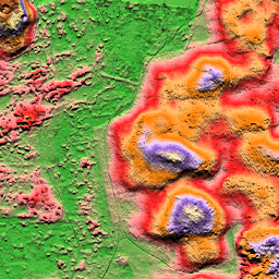
AHN DEM — это DEM шириной 0,5 м, охватывающая Нидерланды. Он был создан на основе данных LIDAR, полученных весной в период с 2007 по 2012 год. Он содержит образцы с уровня земли, при этом все остальные надземные объекты (такие как здания, мосты, деревья и т. д.) удалены. Эта версия… Ан дем высотно -топографический геофизический лидар AHN Нидерланды 0,5 млн немецких марок, без интерполяции 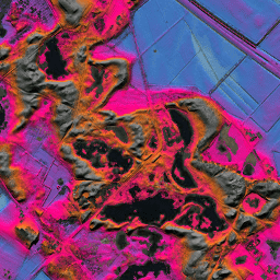
AHN DEM — это DEM шириной 0,5 м, охватывающая Нидерланды. Он был создан на основе данных LIDAR, полученных весной в период с 2007 по 2012 год. Он содержит образцы с уровня земли, при этом все остальные надземные объекты (такие как здания, мосты, деревья и т. д.) удалены. Эта версия… Ан дем высотно -топографический геофизический лидар AHN Нидерланды 0,5 млн немецких марок, необработанные образцы 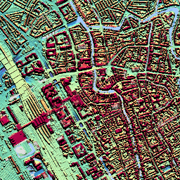
AHN DEM — это DEM шириной 0,5 м, охватывающая Нидерланды. Он был создан на основе данных LIDAR, полученных весной между 2007 и 2012 годами. Эта версия содержит как образцы с уровня земли, так и объекты над уровнем земли (например, здания, мосты, деревья и т. д.). Облако точек… Ан дем высотно -топографический геофизический лидар AHN3: Нидерланды AHN 0,5 млн. 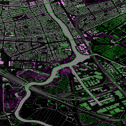
Actueel Hoogtebestand Nederland (AHN) — это набор данных с подробными и точными данными о высоте над всеми Нидерландами. Информация о высоте собиралась с вертолетов и самолетов с использованием лазерной технологии с точностью по вертикали 5 см. Набор данных AHN3 содержит данные AHN Нидерландов 0,5 м DSM… Ан дем высотно -топографический геофизический лидар AHN4: Нидерланды AHN 0,5 млн. 
Actueel Hoogtebestand Nederland (AHN) — это набор данных с подробными и точными данными о высоте над всеми Нидерландами. Информация о высоте собиралась с вертолетов и самолетов с использованием лазерной технологии с точностью по вертикали 5 см. Набор данных AHN4 содержит данные AHN Нидерландов 0,5 м DSM… Ан дем высотно -топографический геофизический лидар
Datasets tagged ahn in Earth Engine
[null,null,[],[],["The content describes several versions of the Actueel Hoogtebestand Nederland (AHN) Digital Elevation Model (DEM) datasets for the Netherlands. These 0.5m DEMs are generated from LIDAR data collected between 2007 and 2012, with two versions, the \"Interpolated\" and \"Non-Interpolated\", containing ground-level samples only and another, the \"Raw Samples,\" with both ground and above-ground items. The AHN3 and AHN4 datasets are also provided, offering detailed elevation data with 5cm vertical accuracy.\n"]]