-
GRIDMET DROUGHT:美国本土干旱指数

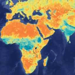
此数据集包含从 4 公里每日网格化地表气象 (GRIDMET) 数据集得出的干旱指数。提供的干旱指数包括标准化降水指数 (SPI)、蒸发干旱需求指数 (EDDI)、标准化降水蒸散指数 (SPEI)、帕默干旱严重程度指数 (PDSI) 和帕默 … 气候 美国本土 作物 干旱 蒸散 地球物理 -
KBDI:Keetch-Byram 干旱指数

Keetch-Byram 干旱指数 (KBDI) 是一种连续参考尺度,用于估算土壤和腐殖质层的干燥度。该指数在没有降雨的每一天都会增加(增加量取决于每日最高气温),并在降雨时减少。此系统 … 干旱 火灾 降雨 -
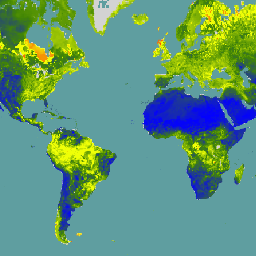
SPEIbase:标准化降水蒸散指数数据库,版本 2.11

全球 SPEI 数据库 (SPEIbase) 提供有关全球干旱状况的长期可靠信息,像素大小为 0.5 度,每月更新一次。它提供 1 到 48 个月的 SPEI 时间尺度。标准化降水蒸散指数 (SPEI) 以标准化变量的形式表示 … 气候 气候变化 干旱 蒸散 全球 每月 -
SPL3SMP_E.005 SMAP L3 辐射计全球每日 9 公里土壤湿度

自 2023-12-04 起的数据可在 NASA/SMAP/SPL3SMP_E/006 集合中找到。此三级 (L3) 土壤湿度产品提供由土壤湿度主动被动 (SMAP) L 波段辐射计检索到的全球地表状况的每日合成数据。此处的每日数据是从降序(本地 … 干旱 NASA SMAP 土壤 土壤湿度 地表 -
SPL3SMP_E.006 SMAP L3 辐射计全球每日 9 公里土壤湿度
2023-12-04 之前的旧数据可在 NASA/SMAP/SPL3SMP_E/005 集合中找到。这些数据最终将经过重新处理并添加到此集合中。此三级 (L3) 土壤湿度产品提供由土壤湿度主动被动 (SMAP) L 波段 … 干旱 NASA SMAP 土壤 土壤湿度 地表 -
SPL4SMGP.008 SMAP L4 全球 3 小时 9 公里地表和根区土壤湿度
SMAP 四级 (L4) 土壤湿度产品包括地表土壤湿度(0-5 厘米垂直平均值)、根区土壤湿度(0-100 厘米垂直平均值)和其他研究产品(未验证),包括地表气象强迫变量、土壤温度、蒸散和净辐射。此数据集正式名称为 … 干旱 NASA SMAP 土壤 土壤湿度 地表 -
TerraClimate:爱达荷大学全球陆地表面月度气候和气候水平衡

TerraClimate 是一个数据集,其中包含全球陆地表面的月度气候和气候水平衡。它使用气候辅助插值,将 WorldClim 数据集中的高空间分辨率气候正常值与 CRU Ts4.0 和日本 55 年再分析 (JRA55) 中的粗空间分辨率但随时间变化的数据相结合。… 气候 干旱 蒸散 地球物理 全球 梅塞德 -
美国干旱监测

美国干旱监测是一张每周四发布的地图,显示美国境内处于干旱状态的地区。该地图使用五种分类:异常干燥 (D0),显示可能进入或脱离干旱的地区,以及四个级别的干旱:… 社区数据集 干旱 NOAA 降水 sat-io USDA
Datasets tagged drought in Earth Engine
[null,null,[],[],["The provided data includes several datasets related to drought and soil conditions. SPEIbase offers global drought information with monthly updates and varying time scales. GRIDMET DROUGHT provides various drought indices, including SPI and SPEI, for the US. TerraClimate offers monthly global climate and water balance data. SMAP datasets (SPL3SMP_E and SPL4SMGP) detail daily and 3-hourly soil moisture, while KBDI estimates soil dryness. The US Drought Monitor weekly maps US areas affected by drought, classifying them into different drought levels.\n"]]