-
排水有机土壤排放量(年度)1.0
关于排水有机土壤的两个相关粮农组织数据集提供了以下估算值:DROSA-A:为农业活动(农田和放牧草地)排水的有机土壤面积(公顷)DROSE-A:有机土壤农业排水产生的碳 (C) 和一氧化二氮 (N2O) 估算值(千兆克)… 农业 气候 气候变化 排放 粮农组织 ghg -
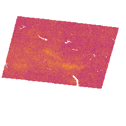
MethaneAIR L3 浓度 V1.1.0

此数据集提供了大气中甲烷总柱干空气摩尔分数“XCH4”的地理空间数据,这些数据由 MethaneAIR 成像光谱仪观测得出。XCH4 的定义是甲烷 (“CH4”) 的总柱量(分子数)除以总柱量… 大气 气候 edf edf-methanesat-ee 排放 ghg -
MethaneAIR L3 浓度 v1

此数据集提供了大气中甲烷总柱干空气摩尔分数“XCH4”的地理空间数据,这些数据由 MethaneAIR 成像光谱仪观测得出。XCH4 的定义是甲烷 (“CH4”) 的总柱量(分子数)除以总柱量… 大气 气候 edf 排放 ghg 甲烷 -
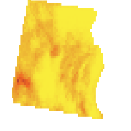
MethaneAIR L4 区域来源 v1

区域排放模型仍在开发中,不代表最终产品。此数据集使用 MethaneAIR 航班的测量结果,提供了空间上分解的甲烷排放通量 (kg/hr),这些航班专注于美国各地的石油和天然气生产区域。调查的总排放量… 大气 气候 edf 排放 ghg 甲烷 -
MethaneAIR L4 点源 V1.1.0

此数据集提供了 13 个石油和天然气或煤炭开采区域(从西部的科罗拉多州、新墨西哥州和得克萨斯州到东部的宾夕法尼亚州、俄亥俄州和西弗吉尼亚州)以及三个城市区域(纽约市、…)的高排放甲烷点源检测数据 (kg/hr)。 大气 气候 edf edf-methanesat-ee 排放 ghg -
MethaneAIR L4 点源 v1
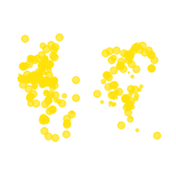
此数据集提供了 13 个石油和天然气或煤炭开采区域(从西部的科罗拉多州、新墨西哥州和得克萨斯州到东部的宾夕法尼亚州、俄亥俄州和西弗吉尼亚州)以及三个城市区域(纽约市、…)的高排放甲烷点源检测数据 (kg/hr)。 大气 气候 edf 排放 ghg 甲烷 -
MethaneSAT L3 浓度公开预览版 V1.0.0
这个早期的“公开预览版”数据集提供了大气中甲烷柱平均干空气摩尔分数“XCH4”的地理空间数据,这些数据是从 MethaneSAT 成像光谱仪的测量结果中检索出来的。XCH4 的定义是甲烷的总柱量(单位表面积上方的分子数)… 大气 气候 edf edf-methanesat-ee 排放 ghg -
MethaneSAT L4 区域来源公开预览版 V1.0.0
分散区域排放模型仍在开发中,不代表最终产品。这个早期的“公开预览版”数据集提供了来自分散区域来源的甲烷排放的高精度数据。这些排放数据来自阿巴拉契亚盆地、二叠纪盆地和尤因塔盆地… 大气 气候 edf edf-methanesat-ee 排放 ghg -
MethaneSAT L4 区域来源公开预览版 V2.0.0
分散区域排放模型仍在开发中,不代表最终产品。这个早期的“公开预览版”数据集提供了来自分散区域来源的甲烷排放的高精度数据。这些新颖的测量结果表明,使用高精度方法量化甲烷总排放量非常重要… 大气 气候 edf edf-methanesat-ee 排放 ghg -
MethaneSAT L4 点源公开预览版 V1.0.0

这个早期的“公开预览版”数据集提供了来自离散点源的甲烷排放的高精度数据。这些甲烷排放通量是使用点源检测和排放量化框架生成的,该框架专门用于利用… 大气 气候 edf edf-methanesat-ee 排放 ghg -
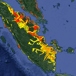
OGIM:石油和天然气基础设施测绘数据库 v2.5.1
此数据集提供了全球石油和天然气 (O&G) 相关基础设施的位置。石油和天然气基础设施测绘 (OGIM) 数据库是由环境保护基金 (EDF) 和 MethaneSAT LLC(EDF 的全资子公司)开发的项目。开发…的主要目标 edf 排放 ghg 基础设施边界 甲烷 methaneair -
联合国粮农组织排水有机土壤面积(年度)1.0

关于排水有机土壤的两个相关粮农组织数据集提供了以下估算值:DROSA-A:为农业活动(农田和放牧草地)排水的有机土壤面积(公顷)DROSE-A:有机土壤农业排水产生的碳 (C) 和一氧化二氮 (N2O) 估算值(千兆克)… 农业 气候 气候变化 排放 粮农组织 ghg
Datasets tagged ghg in Earth Engine
[null,null,[],[],["The datasets provide data on methane emissions and related infrastructure. MethaneAIR datasets capture methane concentrations (XCH4), spatially disaggregated emission fluxes from oil and gas regions (area sources), and high-emitting point sources in oil/gas, coal, and urban areas. The OGIM dataset maps global oil and gas infrastructure. FAO datasets estimate drained organic soils' area and carbon/nitrous oxide emissions from agricultural activities. These data aim to track and quantify methane and other greenhouse gas emissions.\n"]]