Page Summary
-
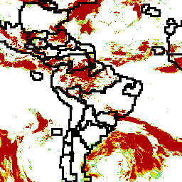
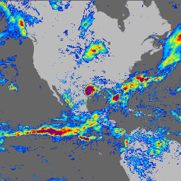
Global Precipitation Measurement (GPM) is an international satellite mission providing observations of rain and snow worldwide every three hours.
-
The Integrated Multi-satellitE Retrievals for GPM (IMERG) is the algorithm used to provide rainfall estimates by combining data from various passive-microwave instruments.
-
IMERG data is available in both hourly and monthly formats, with different versions released over time.
-
Monthly precipitation data at 1 km resolution is also available, based on multiple sources including IMERG and downscaled using various methods.
-
GPM: Global Precipitation Measurement (GPM) Release 07
Global Precipitation Measurement (GPM) is an international satellite mission to provide next-generation observations of rain and snow worldwide every three hours. The Integrated Multi-satellitE Retrievals for GPM (IMERG) is the unified algorithm that provides rainfall estimates combining data from all passive-microwave instruments in the GPM … climate geophysical gpm imerg jaxa nasa -
GPM: Monthly Global Precipitation Measurement (GPM) v6
IMERG-Final version "06" stopped being produced in September, 2021. Version "07" is expected to be released in September 2022 Global Precipitation Measurement (GPM) is an international satellite mission to provide next-generation observations of rain and snow worldwide every three hours. The Integrated Multi-satellitE Retrievals for … climate geophysical gpm imerg jaxa monthly -
GPM: Monthly Global Precipitation Measurement (GPM) vRelease 07
Global Precipitation Measurement (GPM) is an international satellite mission to provide next-generation observations of rain and snow worldwide every three hours. The Integrated Multi-satellitE Retrievals for GPM (IMERG) is the unified algorithm that provides rainfall estimates combining data from all passive-microwave instruments in the GPM … climate geophysical gpm imerg jaxa monthly -
OpenLandMap Precipitation Monthly
Monthly precipitation in mm at 1 km resolution based on SM2RAIN-ASCAT 2007-2018, IMERG, CHELSA Climate, and WorldClim. Downscaled to 1 km resolution using gdalwarp (cubic splines) and an average between WorldClim, CHELSA Climate, and IMERG monthly product (see, e.g, "3B-MO-L.GIS.IMERG.20180601.V05B.tif"). 3x higher weight is given … envirometrix imerg monthly opengeohub openlandmap precipitation