-
Harmonized Sentinel-2 MSI:多光谱成像仪,2A 级 (SR)
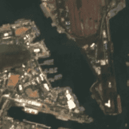
2022 年 1 月 25 日之后,PROCESSING_BASELINE 为 '04.00' 或更高的 Sentinel-2 场景的 DN(值)范围会偏移 1000。HARMONIZED 集合会将新场景中的数据移至与旧场景相同的范围内。Sentinel-2 是一项宽幅、高分辨率、多光谱成像任务,可为哥白尼… copernicus esa eu msi reflectance satellite-imagery -
Landsat Collection 2 Tier 1 Level 2 32 天合成影像

这些 Landsat Collection 2 Tier 1 Level 2 合成影像由 Tier 1 Level 2 正射校正场景制成,包含 SR 波段:蓝色、绿色、红色、近红外、短波红外 1、短波红外 2 和热红外。这些合成影像基于每个 32 天周期(从…开始)内的所有场景生成。 陆地卫星 陆地卫星合成 卫星图像 sr usgs -
Landsat Collection 2 Tier 1 Level 2 8 天合成数据
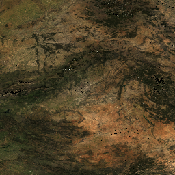
这些 Landsat Collection 2 Tier 1 Level 2 合成影像由 Tier 1 Level 2 正射校正场景制成,包含 SR 波段:蓝色、绿色、红色、近红外、短波红外 1、短波红外 2 和热红外。这些合成影像基于每个 8 天周期(从…开始)内的所有场景生成。 陆地卫星 陆地卫星合成 卫星图像 sr usgs -
Landsat Collection 2 Tier 1 Level 2 年度合成影像
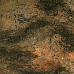
这些 Landsat Collection 2 Tier 1 Level 2 合成影像由 Tier 1 Level 2 正射校正场景制成,包含 SR 波段:蓝色、绿色、红色、近红外、短波红外 1、短波红外 2 和热红外。这些合成影像基于每个年度周期(从…开始)中的所有场景生成 陆地卫星 陆地卫星合成 卫星图像 sr usgs -
南极洲 Landsat 影像镶嵌图 (LIMA) - 处理过的 Landsat 场景(16 位)

南极洲 Landsat 图像拼接图 (LIMA) 是由经过处理的 Landsat 7 ETM+ 场景创建的无缝且几乎无云的拼接图。经过处理的 Landsat 场景(16 位)是指转换为 16 位、经过太阳角度校正并转换为反射率值(Bindschadler…)的 1 级 Gt NLAPS 场景。 antarctica ice landsat-derived lima mosaic satellite-imagery -
南极洲 Landsat 影像镶嵌图 (LIMA) - 处理后的 Landsat 场景(16 位)元数据

南极洲 Landsat 图像拼接图 (LIMA) 是由经过处理的 Landsat 7 ETM+ 场景创建的无缝且几乎无云的拼接图。经过处理的 Landsat 场景(16 位)是指转换为 16 位、经过太阳角度校正并转换为反射率值(Bindschadler…)的 1 级 Gt NLAPS 场景。 antarctica ice landsat-derived lima mosaic satellite-imagery -
南极洲 Landsat 图像镶嵌图 (LIMA) 16 位全色锐化镶嵌图

南极洲 Landsat 图像拼接图 (LIMA) 是由经过处理的 Landsat 7 ETM+ 场景创建的无缝且几乎无云的拼接图。此 LIMA 数据集是 16 位中间 LIMA。镶嵌图由经过全色锐化的归一化地表反射率场景(Landsat ETM+ 波段 1、2、3 和 … antarctica ice landsat-derived lima mosaic satellite-imagery -
MOD09A1.061 Terra 地表反射率 8 天全球 500 米
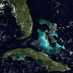
MOD09A1 V6.1 产品提供 Terra MODIS 波段 1-7 在 500 米分辨率下的地表光谱反射率估计值,并针对气体、气溶胶和瑞利散射等大气条件进行了校正。除了七个反射率波段之外,还有一个质量层和四个观测… 8 天 全球 modis nasa satellite-imagery sr -
MOD09GA.061 Terra 地表反射率每日全球 1 公里和 500 米
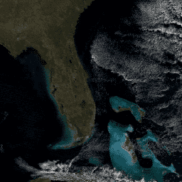
MODIS 地表反射率产品可提供地表光谱反射率的估计值,该值是在没有大气散射或吸收的情况下于地面测得的。低级别数据已针对大气气体和气溶胶进行校正。MOD09GA 版本 6.1 以 … 格式提供波段 1-7。 daily global modis nasa satellite-imagery sr -
MOD09GQ.061 Terra 地表反射率每日全球 250 米
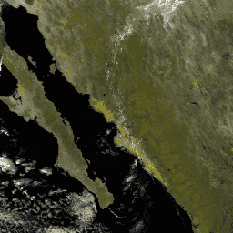
MODIS 地表反射率产品可提供地表光谱反射率的估计值,该值是在没有大气散射或吸收的情况下于地面测得的。低级别数据已针对大气气体和气溶胶进行校正。MOD09GQ 版本 6.1 提供了波段 1 和 … daily global modis nasa satellite-imagery sr -
MOD09Q1.061 Terra 地表反射率 8 天全球 250 米
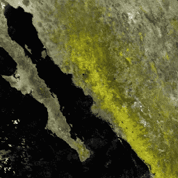
MOD09Q1 产品提供 250 米分辨率下波段 1 和 2 的地表光谱反射率估计值,并针对气体、气溶胶和瑞利散射等大气条件进行了校正。除了这两个反射率波段,还包括一个质量层。对于每个… 8 天 全球 mod09q1 modis nasa 卫星图像 -
MODOCGA.006 Terra 海洋反射率每日全球 1 公里
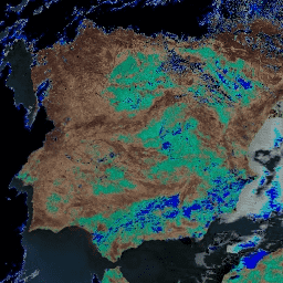
MODOCGA V6 海洋反射率产品包含来自 Terra MODIS 波段 8-16 的 1 公里反射率数据。该产品被称为海洋反射率,因为波段 8-16 主要用于生成海洋产品,但由于图块…,因此该产品并非海洋产品 每日 全球 modis nasa 海洋 反射率 -
MYD09A1.061 Aqua 地表反射率 8 天全球 500 米
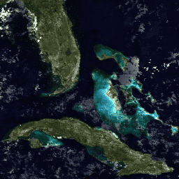
MYD09A1 V6.1 产品提供 Aqua MODIS 波段 1-7 在 500 米分辨率下的地表光谱反射率估计值,并针对气体、气溶胶和瑞利散射等大气条件进行了校正。除了七个反射率波段之外,还有一个质量层和四个观测… 8 天 aqua global modis nasa satellite-imagery -
MYD09GA.061 Aqua 地表反射率每日全球 1 公里和 500 米
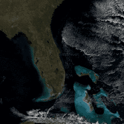
MODIS 地表反射率产品可提供地表光谱反射率的估计值,该值是在没有大气散射或吸收的情况下于地面测得的。低级别数据已针对大气气体和气溶胶进行校正。MYD09GA 版本 6.1 以 … 格式提供波段 1-7。 aqua daily global modis nasa satellite-imagery -
MYD09GQ.061 Aqua 地表反射率每日全球 250 米
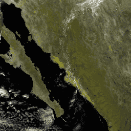
MODIS 地表反射率产品可提供地表光谱反射率的估计值,该值是在没有大气散射或吸收的情况下于地面测得的。低级别数据已针对大气气体和气溶胶进行校正。MYD09GQ 版本 6.1 提供波段 1 和 … aqua daily global modis nasa satellite-imagery -
MYD09Q1.061 Aqua 地表反射率 8 天全球 250 米
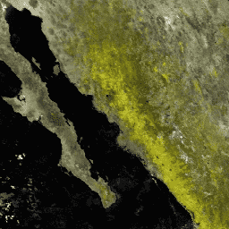
MYD09Q1 产品提供 250 米分辨率下波段 1 和 2 的地表光谱反射率估计值,并针对气体、气溶胶和瑞利散射等大气条件进行了校正。除了这两个反射率波段,还包括一个质量层。对于每个… 8 天 aqua global modis nasa satellite-imagery -
MYDOCGA.006 Aqua 海洋反射率每日全球 1 公里
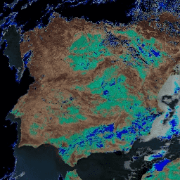
MYDOCGA V6 海洋反射率产品包含来自 Aqua MODIS 波段 8-16 的 1 公里反射率数据。该产品被称为海洋反射率,因为波段 8-16 主要用于生成海洋产品,但由于图块…,因此该产品并非海洋产品 aqua 每日 全球 modis nasa 海洋 -
NICFI 卫星数据计划 - 热带森林监测底图 - 非洲
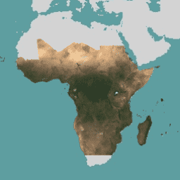
此图片集提供对热带地区的高分辨率卫星监测数据,主要目的是减少和扭转热带森林的损失,从而有助于应对气候变化、保护生物多样性、促进森林再生、恢复和增强,以及推动可持续发展,所有这些都… 基础地图 forest nicfi planet planet-nicfi publisher-dataset -
NICFI 卫星数据计划热带森林监测基本地图 - 美洲
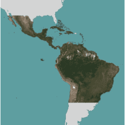
此图片集提供对热带地区的高分辨率卫星监测数据,主要目的是减少和扭转热带森林的损失,从而有助于应对气候变化、保护生物多样性、促进森林再生、恢复和增强,以及推动可持续发展,所有这些都… 基础地图 forest nicfi planet planet-nicfi publisher-dataset -
NICFI 卫星数据计划热带森林监测基本地图 - 亚洲
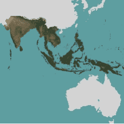
此图片集提供对热带地区的高分辨率卫星监测数据,主要目的是减少和扭转热带森林的损失,从而有助于应对气候变化、保护生物多样性、促进森林再生、恢复和增强,以及推动可持续发展,所有这些都… 基础地图 forest nicfi planet planet-nicfi publisher-dataset -
NOAA CDR AVHRR:地表反射率,版本 5

AVHRR 地表反射率的 NOAA 气候数据记录 (CDR) 包含网格化每日地表反射率和亮度温度,这些数据是从七颗 NOAA 极地轨道卫星上搭载的高级甚高分辨率辐射计 (AVHRR) 传感器获取的。数据以 0.05° 的分辨率进行网格化,并计算… avhrr cdr daily land noaa reflectance -
NOAA CDR GRIDSAT-B1:地球静止红外通道亮度温度

注意:由于基础设施正在更新,自 2024-03-31 以来,提供方尚未更新此数据集。目前尚无数据集更新恢复时间表。此数据集提供来自地球静止卫星的全球红外测量数据的高质量气候数据记录 (CDR)。… 亮度 cdr 气候 红外 noaa 反射率 -
USGS Landsat 4 Level 2,Collection 2,Tier 1

此数据集包含大气校正后的地表反射率和从 Landsat TM 传感器生成的数据中得出的地表温度。这些影像包含 4 个可见光和近红外 (VNIR) 波段以及 2 个经过处理的短波红外 (SWIR) 波段(正射校正的地表反射率),以及 1 个热红外波段。 cfmask cloud fmask global landsat lasrc -
USGS Landsat 4 Level 2,Collection 2,Tier 2
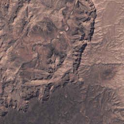
此数据集包含大气校正后的地表反射率和从 Landsat TM 传感器生成的数据中得出的地表温度。这些影像包含 4 个可见光和近红外 (VNIR) 波段以及 2 个经过处理的短波红外 (SWIR) 波段(正射校正的地表反射率),以及 1 个热红外波段。 cfmask cloud fmask global landsat lasrc -
USGS Landsat 5 Level 2,Collection 2,Tier 1
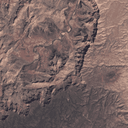
此数据集包含大气校正后的地表反射率和从 Landsat TM 传感器生成的数据中得出的地表温度。这些影像包含 4 个可见光和近红外 (VNIR) 波段以及 2 个经过处理的短波红外 (SWIR) 波段(正射校正的地表反射率),以及 1 个热红外波段。 cfmask cloud fmask global landsat lasrc -
USGS Landsat 5 Level 2,Collection 2,Tier 2
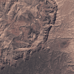
此数据集包含大气校正后的地表反射率和从 Landsat TM 传感器生成的数据中得出的地表温度。这些影像包含 4 个可见光和近红外 (VNIR) 波段以及 2 个经过处理的短波红外 (SWIR) 波段(正射校正的地表反射率),以及 1 个热红外波段。 cfmask cloud fmask global landsat lasrc -
USGS Landsat 7 Level 2、Collection 2、Tier 1
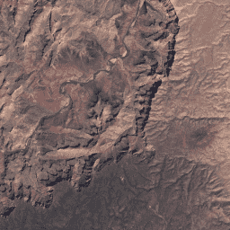
此数据集包含由 Landsat 7 ETM+ 传感器生成的数据得出的经过大气校正的地面反射率和地表温度。这些影像包含 4 个可见光和近红外 (VNIR) 波段以及 2 个短波红外 (SWIR) 波段,经过处理后可获得正射校正的地表反射率,以及 1 个热红外波段。 cfmask cloud etm fmask global landsat -
USGS Landsat 7 Level 2,Collection 2,Tier 2
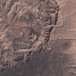
此数据集包含由 Landsat 7 ETM+ 传感器生成的数据得出的经过大气校正的地面反射率和地表温度。这些影像包含 4 个可见光和近红外 (VNIR) 波段以及 2 个短波红外 (SWIR) 波段,经过处理后可获得正射校正的地表反射率,以及 1 个热红外波段。 cfmask cloud etm fmask global landsat -
USGS Landsat 8 Level 2, Collection 2, Tier 1
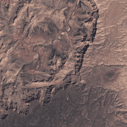
此数据集包含由 Landsat 8 OLI/TIRS 传感器生成的数据得出的经过大气校正的地表反射率和地表温度。这些图像包含 5 个可见光和近红外 (VNIR) 波段以及 2 个经过处理的短波红外 (SWIR) 波段(正射校正的地表反射率),以及 1 个热红外波段。 cfmask cloud fmask global l8sr landsat -
USGS Landsat 8 Level 2,Collection 2,Tier 2
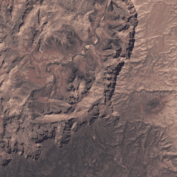
此数据集包含由 Landsat 8 OLI/TIRS 传感器生成的数据得出的经过大气校正的地表反射率和地表温度。这些图像包含 5 个可见光和近红外 (VNIR) 波段以及 2 个经过处理的短波红外 (SWIR) 波段(正射校正的地表反射率),以及 1 个热红外波段。 cfmask cloud fmask global l8sr landsat -
USGS Landsat 9 Level 2,Collection 2,Tier 1
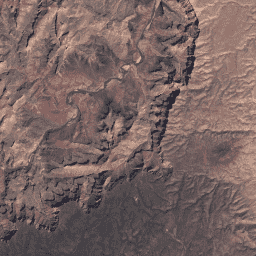
此数据集包含大气校正后的地表反射率和地表温度,这些数据均源自 Landsat 9 OLI/TIRS 传感器生成的数据。这些图像包含 5 个可见光和近红外 (VNIR) 波段以及 2 个经过处理的短波红外 (SWIR) 波段(正射校正的地表反射率),以及 1 个热红外波段。 cfmask cloud fmask global l9sr landsat -
USGS Landsat 9 Level 2,Collection 2,Tier 2
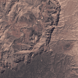
此数据集包含大气校正后的地表反射率和地表温度,这些数据均源自 Landsat 9 OLI/TIRS 传感器生成的数据。这些图像包含 5 个可见光和近红外 (VNIR) 波段以及 2 个经过处理的短波红外 (SWIR) 波段(正射校正的地表反射率),以及 1 个热红外波段。 cfmask cloud fmask global l9sr landsat -
VNP09GA:VIIRS 地表反射率每日 500 米和 1 千米

可见光红外成像辐射仪套件 (VIIRS) 每日地表反射率 (VNP09GA) 产品可根据 Suomi 国家极地轨道合作伙伴计划 (S-NPP) VIIRS 传感器提供陆地表面反射率估计值。提供三个影像波段(I1、I2、I3)的数据,名义分辨率为 500 米(约 463 米)… daily nasa noaa npp reflectance satellite-imagery -
VNP09H1:VIIRS 地表反射率 8 天 L3 全球 500 米

8 天可见光红外成像辐射仪套件 (VIIRS) 地表反射率 (VNP09H1) 第 1 版合成产品可提供 Suomi 国家极轨伙伴卫星 (Suomi NPP) VIIRS 传感器在标称分辨率 500 米(约 463 米)的三个影像波段(I1、I2、I3)的地表反射率估计值。… daily nasa noaa npp reflectance satellite-imagery
Datasets tagged sr in Earth Engine
[null,null,[],[],[]]
