-
Murray Global Intertidal Change Classification

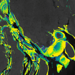
Murray Global Intertidal Change Dataset には、707,528 枚の Landsat アーカイブ画像の教師あり分類によって作成された干潟生態系のグローバル マップが含まれています。各ピクセルは、世界中に分布するトレーニング データセットを参照して、干潟、恒久的な水域、その他のいずれかに分類されました。カラーは、RGB 値とアルファ チャンネルで指定します。 coastal google intertidal landsat-derived murray surface-ground-water -
Murray Global Intertidal Change Data Mask
Murray Global Intertidal Change Dataset には、707,528 枚の Landsat アーカイブ画像の教師あり分類によって作成された干潟生態系のグローバル マップが含まれています。各ピクセルは、世界中に分布するトレーニング データセットを参照して、干潟、恒久的な水域、その他のいずれかに分類されました。カラーは、RGB 値とアルファ チャンネルで指定します。 coastal google intertidal landsat-derived murray surface-ground-water -
Murray Global Intertidal Change QA Pixel Count

Murray Global Intertidal Change Dataset には、707,528 枚の Landsat アーカイブ画像の教師あり分類によって作成された干潟生態系のグローバル マップが含まれています。各ピクセルは、世界中に分布するトレーニング データセットを参照して、干潟、恒久的な水域、その他のいずれかに分類されました。カラーは、RGB 値とアルファ チャンネルで指定します。 coastal google intertidal landsat-derived murray surface-ground-water
Datasets tagged tidal-flats in Earth Engine
[null,null,[],[],[]]