 Google uses AI technology to translate content into your preferred language. AI translations can contain errors.
Konfigurowanie wysokości znacznika
Zadbaj o dobrą organizację dzięki kolekcji
Zapisuj i kategoryzuj treści zgodnie ze swoimi preferencjami.
Wybierz platformę:
Android
iOS
Możesz dostosować wysokość znaczników dodawanych do mapy 3D.
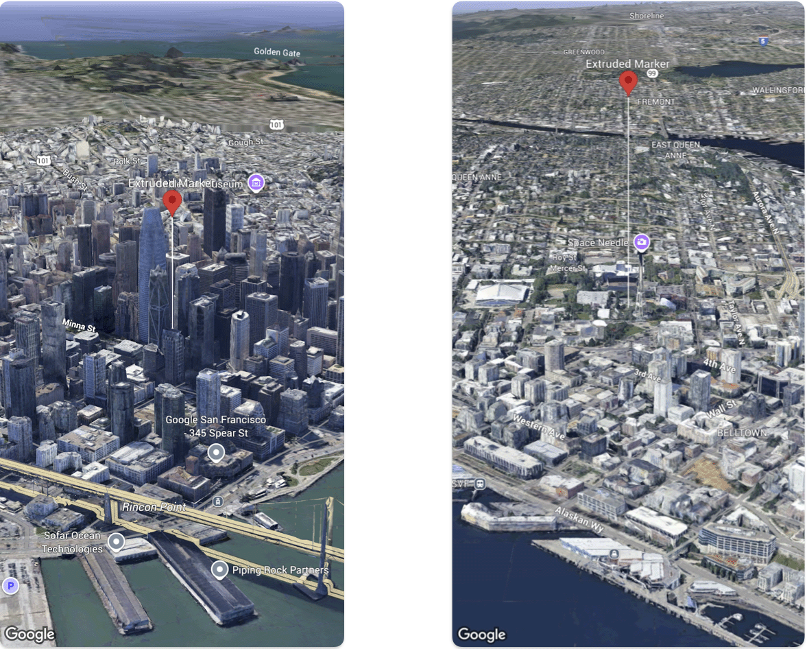
Poniższy przykładowy kod pokazuje, jak ustawić wysokość i tryb wysokości Marker.
@State var extrudedMarker: Marker3D = .init(
  position: .init(
      latitude: 37.78980534,
      longitude:  -122.3969349,
      altitude: 50.0),
  altitudeMode: .relativeToGround,
  collisionBehavior: .required,
  extruded: true,
  drawsWhenOccluded: true,
  sizePreserved: true,
  zIndex: 0,
  label: "Extruded marker"
)
O ile nie stwierdzono inaczej, treść tej strony jest objęta licencją Creative Commons – uznanie autorstwa 4.0, a fragmenty kodu są dostępne na licencji Apache 2.0. Szczegółowe informacje na ten temat zawierają zasady dotyczące witryny Google Developers. Java jest zastrzeżonym znakiem towarowym firmy Oracle i jej podmiotów stowarzyszonych.
Ostatnia aktualizacja: 2026-06-19 UTC.
[null,null,["Ostatnia aktualizacja: 2026-06-19 UTC."],[],[]]
