
您可以自定义添加到 3D 地图中的标记的 海拔高度 。
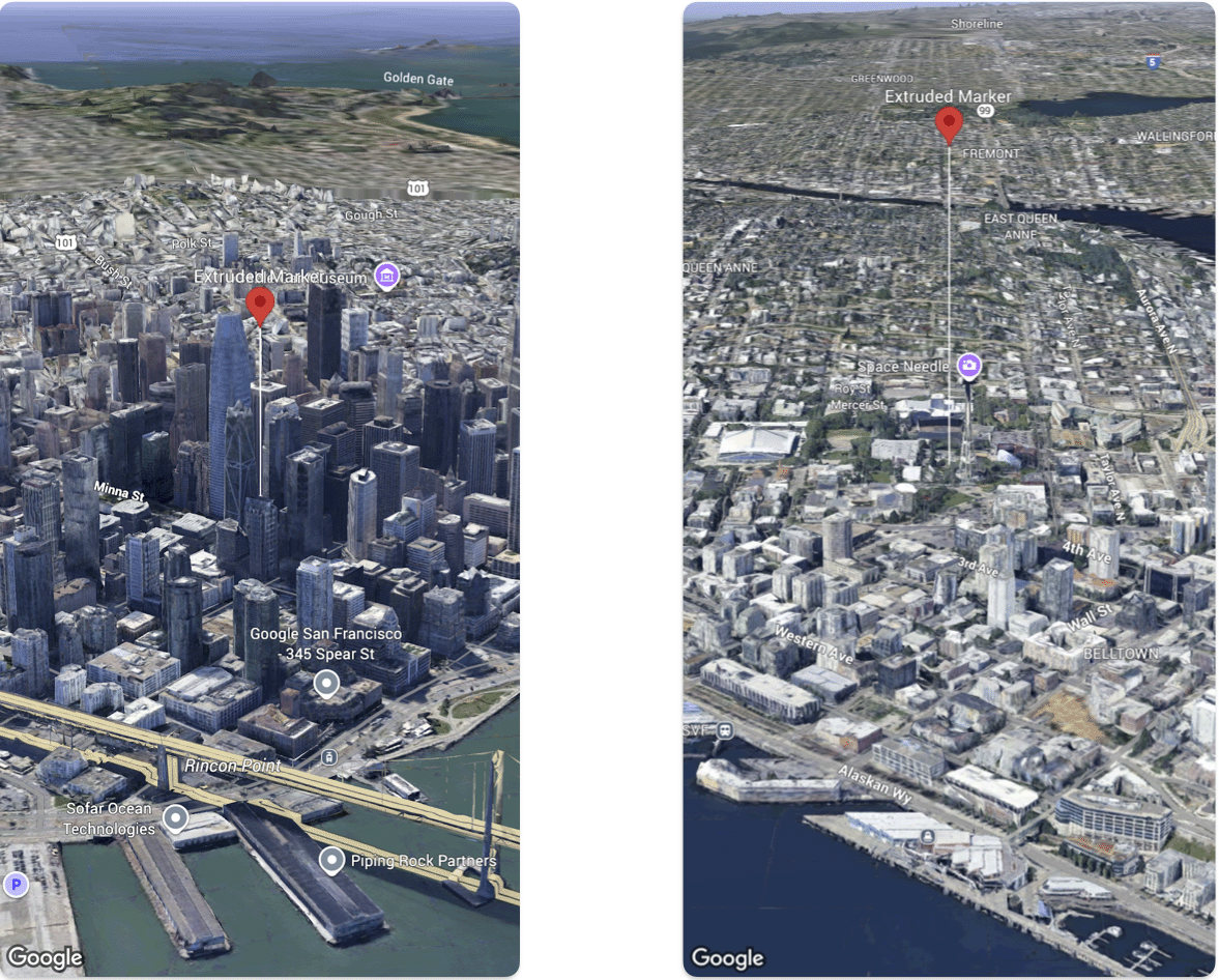
以下代码示例演示了如何设置海拔高度和海拔高度模式
的 Marker。
@State var extrudedMarker: Marker3D = .init(
  position: .init(
      latitude: 37.78980534,
      longitude:  -122.3969349,
      altitude: 50.0),
  altitudeMode: .relativeToGround,
  collisionBehavior: .required,
  extruded: true,
  drawsWhenOccluded: true,
  sizePreserved: true,
  zIndex: 0,
  label: "Extruded marker"
)