-
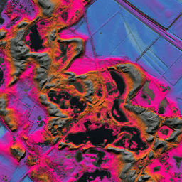
AHN オランダ 0.5 m DEM、補間

AHN DEM は、オランダをカバーする 0.5 m DEM です。これは、2007 年から 2012 年の春に撮影された LIDAR データから生成されました。地面レベルのサンプルが含まれており、地面より上にある他のすべてのアイテム(建物、橋、木など)が削除されています。このバージョンは ... ahn dem elevation elevation-topography geophysical lidar -
AHN オランダ 0.5 m DEM、補間なし
AHN DEM は、オランダをカバーする 0.5 m DEM です。これは、2007 年から 2012 年の春に撮影された LIDAR データから生成されました。地面レベルのサンプルが含まれており、地面より上にある他のすべてのアイテム(建物、橋、木など)が削除されています。このバージョンは ... ahn dem elevation elevation-topography geophysical lidar -
AHN オランダ 0.5 m DEM、未加工サンプル
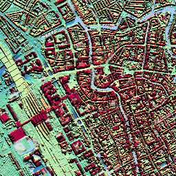
AHN DEM は、オランダをカバーする 0.5 m DEM です。これは、2007 年から 2012 年の春に撮影された LIDAR データから生成されました。このバージョンには、地面レベルのサンプルと地面レベルより上にあるアイテム(建物、橋、木など)の両方が含まれています。ポイントクラウドは... ahn dem elevation elevation-topography geophysical lidar -
AHN3: オランダ AHN 0.5 m
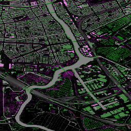
Actueel Hoogtebestand Nederland(AHN)は、オランダ全域の詳細で正確な標高データを含むデータセットです。高度情報は、ヘリコプターや航空機からレーザー技術を使用して収集され、垂直方向の精度は 5 cm です。AHN3 データセットには、オランダの AHN 0.5m DSM が含まれています。 ahn dem elevation elevation-topography geophysical lidar -
AHN4: オランダ AHN 0.5 m
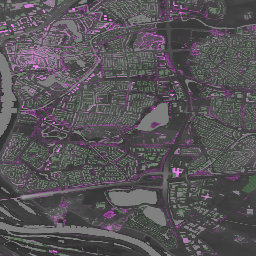
Actueel Hoogtebestand Nederland(AHN)は、オランダ全域の詳細で正確な標高データを含むデータセットです。高度情報は、ヘリコプターや航空機からレーザー技術を使用して収集され、垂直方向の精度は 5 cm です。AHN4 データセットには、オランダの AHN 0.5m DSM が含まれています。 ahn dem elevation elevation-topography geophysical lidar
Datasets tagged ahn in Earth Engine
[null,null,[],[],["The content describes several versions of the Actueel Hoogtebestand Nederland (AHN) Digital Elevation Model (DEM) datasets for the Netherlands. These 0.5m DEMs are generated from LIDAR data collected between 2007 and 2012, with two versions, the \"Interpolated\" and \"Non-Interpolated\", containing ground-level samples only and another, the \"Raw Samples,\" with both ground and above-ground items. The AHN3 and AHN4 datasets are also provided, offering detailed elevation data with 5cm vertical accuracy.\n"]]