-
TIGER: 2020 年集計(国勢調査)ブロック
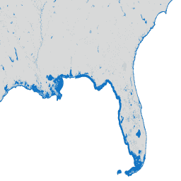
米国国勢調査局は、TIGER という名前のジオデータベースを定期的にリリースしています。このデータセットには、2020 年の国勢調査ブロック(都市ブロックとほぼ同等)が含まれています。米国、コロンビア特別区、プエルトリコ、島をカバーするポリゴン フィーチャーが 800 万件以上あります。 census city infrastructure-boundaries neighborhood table tiger -
TIGER: 米国国勢調査ブロック グループ(BG)2010 年

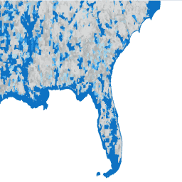
米国国勢調査局は、TIGER という名前のジオデータベースを定期的にリリースしています。このデータセットには、2010 年の国勢調査ブロック グループが含まれています。これは、同じ国勢調査区内のブロックのクラスタで、4 桁の国勢調査ブロック番号の最初の数字が同じです。ただ、 census city infrastructure-boundaries neighborhood table tiger -
TIGER: 米国国勢調査ブロック グループ(BG)2020

米国国勢調査局は、TIGER という名前のジオデータベースを定期的にリリースしています。このデータセットには、2020 年の国勢調査ブロック グループが含まれています。これは、同じ国勢調査区内のブロックのクラスタで、4 桁の国勢調査ブロック番号の最初の数字が同じです。ただ、 census city infrastructure-boundaries neighborhood table tiger -
TIGER: 米国国勢調査ブロック

米国国勢調査局は、TIGER という名前のジオデータベースを定期的にリリースしています。このデータセットには、都市の 1 区画とほぼ同じ 2010 年の国勢調査ブロックが含まれています。米国、コロンビア特別区、プエルトリコ、島々をカバーするポリゴン フィーチャーが 1,100 万件以上あります。 census city infrastructure-boundaries neighborhood table tiger -
TIGER: 米国国勢調査区
米国国勢調査局は、TIGER という名前のジオデータベースを定期的にリリースしています。このデータセットには、2020 年の調査地域が含まれています。国勢調査区の面積は大きく異なりますが、都市部ではおおむね近隣地域に相当します。米国、コロンビア特別区、プエルトリコをカバーするポリゴン フィーチャーは 85, 000 をわずかに超える数です。 census city infrastructure-boundaries neighborhood table tiger
Datasets tagged city in Earth Engine
[null,null,[],[],["The US Census Bureau provides TIGER geodatabases, including 2010 and 2020 data. These datasets detail census blocks, which are roughly city blocks, and census block groups, clusters within tracts. The 2010 census blocks contain over 11 million features, while the 2020 blocks contain over 8 million. Additionally, there are census tracts for 2020, each representing an urban neighborhood and comprising over 85,000 polygon features.\n"]]