-
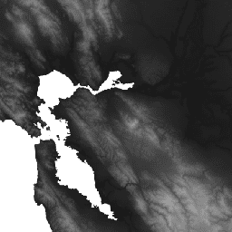
WWF HydroSHEDS 水文条件 DEM,15 角秒

HydroSHEDS 是一种地图绘制产品,可为区域和全球规模的应用提供一致格式的水文信息。它提供了一套不同比例的地理参考数据集(矢量和栅格),包括河流网络、分水岭边界、排水方向和流量累积。HydroSHEDS 基于 … conditioned dem elevation geophysical hydrography hydrology -
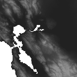
WWF HydroSHEDS 水文条件 DEM,3 角秒
HydroSHEDS 是一种地图绘制产品,可为区域和全球规模的应用提供一致格式的水文信息。它提供了一套不同比例的地理参考数据集(矢量和栅格),包括河流网络、分水岭边界、排水方向和流量累积。HydroSHEDS 基于 … conditioned dem elevation geophysical hydrography hydrology -
WWF HydroSHEDS 水文条件 DEM,30 角秒
HydroSHEDS 是一种地图绘制产品,可为区域和全球规模的应用提供一致格式的水文信息。它提供了一套不同比例的地理参考数据集(矢量和栅格),包括河流网络、分水岭边界、排水方向和流量累积。HydroSHEDS 基于 … conditioned dem elevation geophysical hydrography hydrology
Datasets tagged conditioned in Earth Engine
[null,null,[],[],[]]