-
地上バイオマスと地下バイオマスの炭素密度に関するグローバル マップ

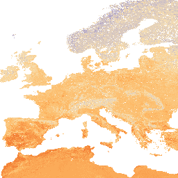
このデータセットは、2010 年の地上バイオマスと地下バイオマスの炭素密度の時間的に一貫性のある調和されたグローバル マップを 300 m の空間分解能で提供します。地上バイオマス地図は、森林、草原、農地、ツンドラのバイオマスの土地被覆固有の遠隔探査地図を統合したものです。入力マップは … 地上バイオマス バイオマス 炭素 密度 森林 森林バイオマス -
OpenLandMap 土壌かさ密度
土壌の仮比重(細土): 6 つの標準深度(0、10、30、60、100、200 cm)で 10 × kg / m3、250 m の解像度。処理手順の詳細については、こちらをご覧ください。南極は含まれません。Earth 以外の地図にアクセスして可視化するには… 密度 envirometrix opengeohub openlandmap soil
Datasets tagged density in Earth Engine
[null,null,[],[],[]]