-
GRIDMET 干ばつ: CONUS 干ばつ指数
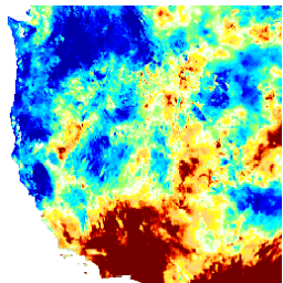
このデータセットには、4 km の日次グリッド表面気象(GRIDMET)データセットから導出された干ばつ指数が含まれています。提供される干ばつ指数には、標準化降水指数(SPI)、蒸発散干ばつ需要指数(EDDI)、標準化降水蒸発散指数(SPEI)、パーマー干ばつ深刻度指数(PDSI)、パーマー… 気候 米国本土 作物 干ばつ 蒸発散量 地球物理学 -
SPEIbase: 標準化降水蒸発散指数データベース、バージョン 2.10

Global SPEI データベース(SPEIbase)は、0.5 度のピクセルサイズと月単位の頻度で、世界規模の干ばつ状況に関する長期にわたる堅牢な情報を提供します。SPEI のタイムスケールは 1 ~ 48 か月です。標準化降水蒸発散指数(SPEI)は、標準化された変量として表されます。 気候 気候変動 干ばつ 蒸発散 グローバル 月単位 -
TerraClimate: 世界の陸地表面の月ごとの気候と気候水収支、アイダホ大学

TerraClimate は、世界の陸地表面の月ごとの気候と気候水収支のデータセットです。気候補助内挿法を使用し、WorldClim データセットの高空間解像度の気候平年値と、CRU Ts4.0 および日本の 55 年間再分析(JRA55)の粗い空間解像度で時間変化するデータを組み合わせています。… 気候 干ばつ 蒸発散 地球物理学 グローバル メルセド
Datasets tagged palmer in Earth Engine
[null,null,[],[],["The datasets provide drought condition information. SPEIbase offers global drought data with a 0.5-degree resolution and monthly updates, using the Standardized Precipitation-Evapotranspiration Index (SPEI) across 1 to 48-month time scales. GRIDMET DROUGHT provides drought indices like SPI, EDDI, SPEI, and PDSI from 4-km daily Gridded Surface Meteorological data. TerraClimate offers monthly climate and water balance data for global surfaces by interpolating WorldClim, CRU Ts4.0, and JRA55 datasets.\n"]]