Ringkasan
Tetap teratur dengan koleksi
Simpan dan kategorikan konten berdasarkan preferensi Anda.
Gaya visual berbasis data untuk batas memungkinkan Anda mengakses poligon Google untuk
batas-batas administratif, menerapkan gaya visual ke poligon batas, menampilkannya di
peta Anda.
Gaya visual berbasis data untuk batas memungkinkan Anda menarget wilayah berdasarkan ID tempat,
dan menerapkan gaya visual kustom ke poligon batas di peta. Setiap jenis fitur merepresentasikan
jenis wilayah; Anda memilih jenis fitur yang akan diaktifkan saat mengonfigurasi gaya peta. Lihat cakupan batas Google untuk melihat cakupan batas per negara.
Jenis fitur
Gaya visual berbasis data memberikan akses ke batas-batas Google untuk jenis fitur yang mewakili wilayah administratif. Wilayah administratif dikategorikan berdasarkan fungsi, misalnya, negara, negara bagian, lokalitas, dan kode pos. Jenis fitur diatur menurut tingkat administratif, yang strukturnya bervariasi menurut negara.
Ini mencakup:
GMSFeatureTypeCountry
— Entitas politik nasional, biasanya jenis urutan tertinggi.
GMSFeatureTypeAdministrativeAreaLevel1
- Entitas sipil urutan pertama di bawah tingkat negara. Di Amerika Serikat, tingkat administratif ini adalah negara bagian.
GMSFeatureTypeAdministrativeAreaLevel2
— Entitas sipil urutan kedua di bawah tingkat negara. Di Amerika Serikat, tingkat administratif ini adalah county.
GMSFeatureTypeLocality
— Gabungan entitas politik kota besar atau kota kecil.
GMSFeatureTypePostalCode
— Kode pos, seperti yang biasa digunakan untuk penulisan alamat pos dalam negara tersebut.
GMSFeatureTypeSchoolDistrict
— Distrik sekolah; mencakup terpadu, dasar, dan menengah.
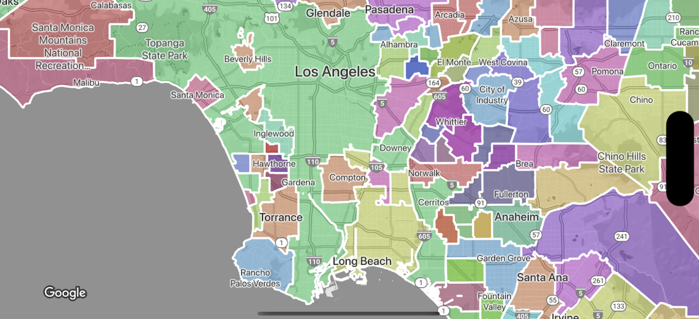
Wilayah administratif ditampilkan pada peta sebagai lapisan fitur; setiap jenis memiliki lapisannya sendiri. Lapisan fitur diaktifkan per gaya peta. Anda dapat memilih lapisan fitur mana yang akan diaktifkan saat menyiapkan gaya peta Anda di Konsol Google Cloud.
Menata gaya poligon batas
Anda dapat menerapkan gaya pada poligon batas untuk pengisi (warna, opasitas), dan goresan
(warna, opasitas, ketebalan goresan). Gunakan gaya visual untuk:
- Menata gaya poligon batas atau menampilkan semua batas untuk jenis fitur.
- Buat peta koroplet.
Cakupan batas Google menunjukkan ketersediaan jenis fitur per negara.
Kecuali dinyatakan lain, konten di halaman ini dilisensikan berdasarkan Lisensi Creative Commons Attribution 4.0, sedangkan contoh kode dilisensikan berdasarkan Lisensi Apache 2.0. Untuk mengetahui informasi selengkapnya, lihat Kebijakan Situs Google Developers. Java adalah merek dagang terdaftar dari Oracle dan/atau afiliasinya.
Terakhir diperbarui pada 2025-08-31 UTC.
[null,null,["Terakhir diperbarui pada 2025-08-31 UTC."],[[["\u003cp\u003eData-driven styling enables applying custom styles to Google's administrative boundary polygons on your maps, targeting regions by place ID.\u003c/p\u003e\n"],["\u003cp\u003eYou can select specific feature types like countries, states, localities, and postal codes to display on your map.\u003c/p\u003e\n"],["\u003cp\u003eBoundary polygons can be styled with fill and stroke properties to create visual effects or choropleth maps.\u003c/p\u003e\n"],["\u003cp\u003eGoogle provides boundary data for various countries, and coverage details are available in the documentation.\u003c/p\u003e\n"],["\u003cp\u003eData-driven styling is available across Android, iOS, and JavaScript platforms.\u003c/p\u003e\n"]]],["Data-driven styling allows accessing and styling Google's administrative boundary polygons on maps. Users can target regions by place ID and apply custom styling to the polygons. Feature types, categorized by administrative level (e.g., country, state, locality, postal code, school district), are accessed via layers within map styles. Styling options include fill color and opacity, as well as stroke color, opacity, and weight, enabling the creation of choropleth maps or individual boundary styles. Availability of these feature types varies by country.\n"],null,["Select platform: [Android](/maps/documentation/android-sdk/dds-boundaries/overview \"View this page for the Android platform docs.\") [iOS](/maps/documentation/ios-sdk/dds-boundaries/overview \"View this page for the iOS platform docs.\") [JavaScript](/maps/documentation/javascript/dds-boundaries/overview \"View this page for the JavaScript platform docs.\")\n\n\u003cbr /\u003e\n\nData-driven styling for boundaries lets you access Google's polygons for\nadministrative boundaries, apply styling to boundary polygons, display them on\nyour maps.\n\nData-driven styling for boundaries lets you target regions by place ID, and apply\ncustom styling to boundary polygons on the map. Each feature type represents a\ntype of region; you select which feature types to enable when configuring a map\nstyle. Consult [Google boundaries coverage](/maps/documentation/ios-sdk/dds-boundaries/coverage) to see per-country\nboundary coverage.\n\nFeature types\n\nData-driven styling provides access to Google boundaries for feature types that\nrepresent administrative areas. Administrative areas are categorized by\nfunction, for example country, state, locality, and postal code. Feature types\nare arranged by administrative level, the structure of which varies by country.\nThese include:\n\n- `GMSFeatureTypeCountry` --- The national political entity, typically the highest order type.\n- `GMSFeatureTypeAdministrativeAreaLevel1` - A first-order civil entity below the country level. Within the United States, these administrative levels are states.\n- `GMSFeatureTypeAdministrativeAreaLevel2` --- A second-order civil entity below the country level. Within the United States, these administrative levels are counties.\n- `GMSFeatureTypeLocality` --- An incorporated city or town political entity.\n- `GMSFeatureTypePostalCode` --- A postal code, as used to address postal mail within the country.\n- `GMSFeatureTypeSchoolDistrict` --- A school district; includes unified, elementary, and secondary.\n\nAdministrative areas are represented on the map as feature layers; each type has\nits own layer. Feature layers are enabled per map style. You can choose which\nfeature layers to enable when setting up your map style in the\nGoogle Cloud console.\n\nStyle boundary polygons\n\nYou can apply styles to boundary polygons for fill (color, opacity), and stroke\n(color, opacity, stroke weight). Use styling to:\n\n- Style a boundary polygon or show all the boundaries for a feature type.\n- Create a choropleth map.\n\n[Google boundaries coverage](/maps/documentation/ios-sdk/dds-boundaries/coverage) shows per-country availability of feature\ntypes."]]