
Veri kümeleri için veri odaklı stili ayarlamak üzere aşağıdaki adımları uygulayın.
API anahtarı alma ve API'leri etkinleştirme
Veri kümelerinde veri odaklı stil kullanmadan önce şunları yapmanız gerekir: Fatura hesabı olan bir Cloud projesi ve hem iOS için Haritalar SDK'sı hem de Haritalar Veri Kümeleri API'si etkin olmalıdır. Daha fazla bilgi için:
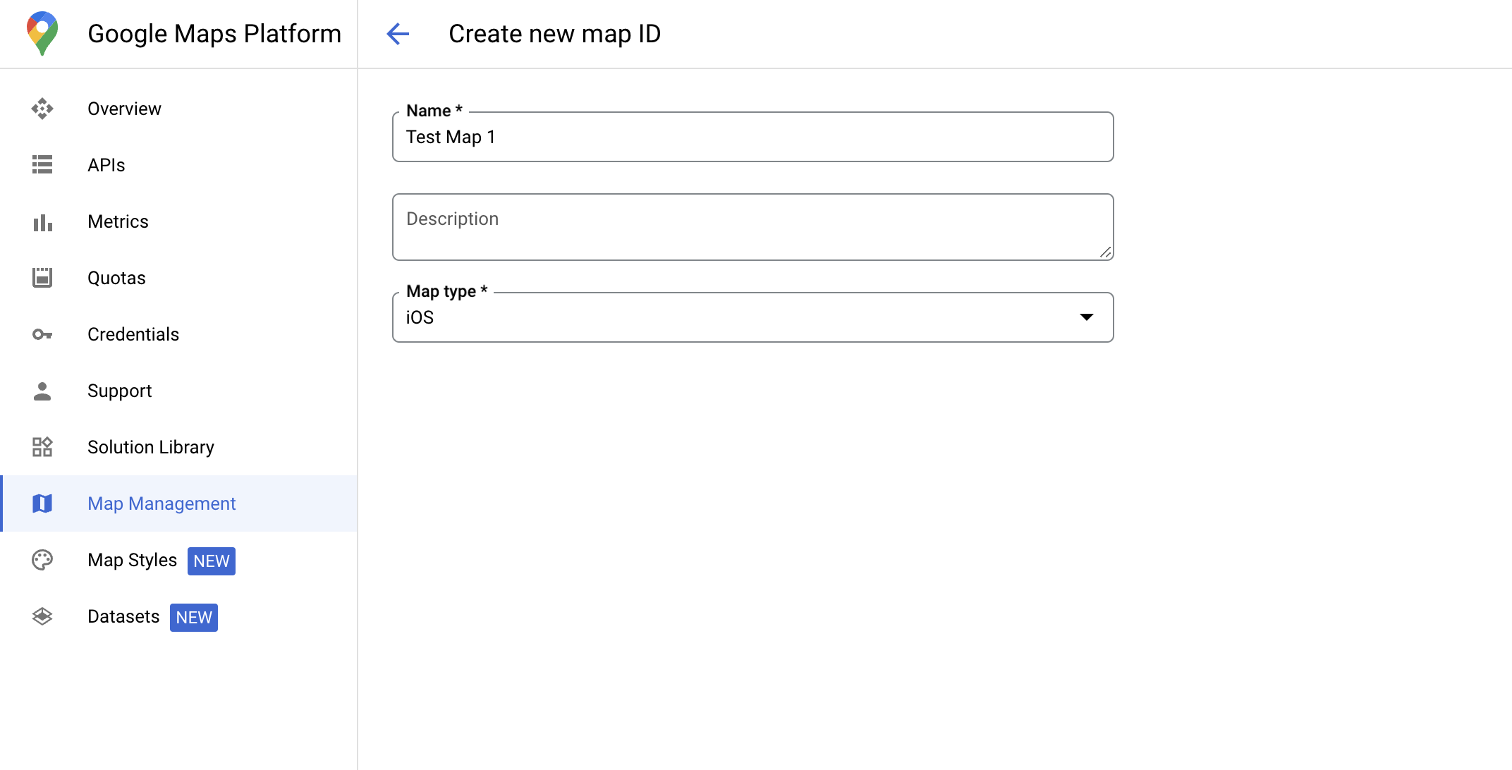
Harita kimliği oluşturma
Harita kimliği, bir Google Haritalar spesifikasyonunu temsil eden benzersiz bir tanımlayıcıdır. Google Cloud Console'da dilediğiniz zaman harita kimlikleri oluşturabilir ve harita kimliğiyle ilişkili bir stili güncelleyebilirsiniz.
Yeni harita stili oluşturma
Yeni bir harita stili oluşturmak için Harita stilleri oluşturma ve kullanma başlıklı makaledeki talimatları uygulayın. İşlem tamamlandığında stili yeni oluşturulan harita kimliğiyle ilişkilendirin.
Harita ilk başlatma kodunuzu güncelleme
Bu adımda, bir harita kimliğinin bir veya daha fazla özellik katmanı etkin olan bir stil ile ilişkilendirilmesi gerekir. Harita kimliğinizin Cloud Console'da doğru şekilde ayarlandığını doğrulamak için Haritalar Yönetimi bölümünde nasıl yapılandırıldığını inceleyin.
Swift
// A map ID using a style with one or more feature layers enabled

let mapID = GMSMapID(identifier: "YOUR_MAP_ID")
let mapView = GMSMapView(frame: .zero, mapID: mapID, camera: GMSCameraPosition(latitude: 40, longitude: -80, zoom: 7))
Objective-C
// A map ID using a style with one or more feature layers enabled

GMSMapID *mapID = [GMSMapID mapIDWithIdentifier:@"MAP_ID"];
GMSMapView *mapView = [GMSMapView mapWithFrame:CGRectZero mapID:mapID camera:[GMSCameraPosition cameraWithLatitude:40 longitude:-80 zoom:7]];
Harita özelliklerini kontrol etme
Veri kümeleri için veri odaklı stil, Google Cloud Console'da etkinleştirilen ve bir harita kimliğiyle ilişkilendirilen özellikler gerektirir. Harita kimlikleri değişebileceğinden, belirli bir özelliği (ör. veri odaklı stil) çağırmadan önce kullanılabilir olup olmadığını doğrulamak için GMSMapView üzerinde mapView.mapCapabilities çağırabilirsiniz.
GMSViewDelegate listesine abone olarak da harita özelliklerindeki değişiklikleri algılayabilirsiniz.
Bu örnekte, veriye dayalı stil gereksinimlerini kontrol etmek için protokolün nasıl kullanılacağı gösterilmektedir.
Swift
class SampleViewController: UIViewController {

  private lazy var mapView: GMSMapView = GMSMapView(frame: .zero, mapID: GMSMapID(identifier: "YOUR_MAP_ID"), camera: GMSCameraPosition(latitude: 40, longitude: -80, zoom: 7))

  override func loadView() {
    self.view = mapView
    mapView.delegate = self
  }
}

extension SampleViewController: GMSMapViewDelegate {
  func mapView(_ mapView: GMSMapView, didChange mapCapabilities: GMSMapCapabilityFlags) {
    if (!mapCapabilities.contains(.dataDrivenStyling)) {
      // Data-driven styling is *not* available, add a fallback.
      // Existing feature layers are also unavailable.
    }
  }
}
Objective-C
@interface SampleViewController: UIViewController <GMSMapViewDelegate>
@end

@implementation SampleViewController
- (void)loadView {
  GMSMapView *mapView = [GMSMapView mapWithFrame:CGRectZero mapID:[GMSMapID mapIDWithIdentifier:@"MAP_ID"] camera:[GMSCameraPosition cameraWithLatitude:40 longitude:-80 zoom:7]];
  mapView.delegete = self;
  self.view = mapView;
}

- (void)mapView:(GMSMapView *)mapView didChangeMapCapabilities:(GMSMapCapabilityFlags)mapCapabilities {
  if (!(mapCapabilities & GMSMapCapabilityFlagsDataDrivenStyling)) {
    // Data-driven styling is *not* available, add a fallback.
    // Existing feature layers are also unavailable.
  }
}
@end