Szukasz zaawansowanych funkcji, które warto dodać do swoich map? Biblioteka narzędziowa pakietu Maps SDK na iOS na GitHubie to biblioteka typu open source z klasami przydatnych w różnych aplikacjach. Repozytorium GitHub zawiera klasy narzędzi i aplikację demonstracyjną, która pokazuje użycie poszczególnych klas.
Narzędzia
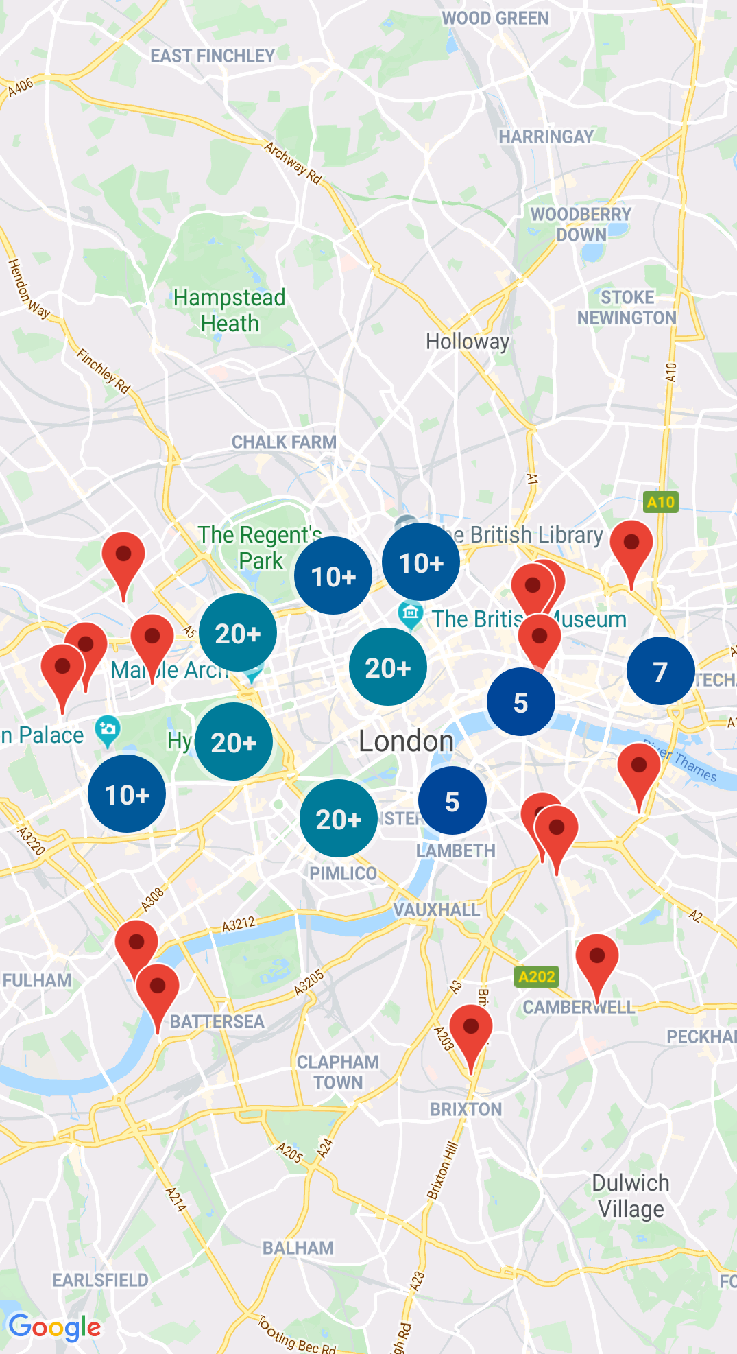
Grupowanie znaczników
Pole GMUClusterManager ułatwia zarządzanie wieloma znacznikami na różnych poziomach powiększenia. Oznacza to, że na mapie możesz umieścić dużą liczbę znaczników, dzięki czemu będzie ona nieczytelna. Gdy użytkownik wyświetla mapę w dużym powiększeniu, poszczególne znaczniki są widoczne na mapie. Gdy użytkownik pomniejsza mapę na mniejszy poziom, znaczniki zbierają się w klastry, aby ułatwić przeglądanie mapy.
Quadtree to struktura danych, która przydaje się do znajdowania punktów w pobliżu pojedynczego punktu za pomocą wyszukiwania w obszarze otaczającym ciekawe miejsce.
Szczegółowe informacje znajdziesz w dokumentacji Quadtree.
KML
KML jest popularnym formatem do renderowania danych geograficznych, takich jak punkty, linie i wielokąty. GMUKMLParser umożliwia analizowanie i renderowanie danych geograficznych w formacie KML.
Szczegółowe informacje znajdziesz w dokumentacji pliku KML.
Importowanie GeoJSON na mapę
Cechy można przechowywać w formacie GeoJSON i używać tego narzędzia do renderowania ich jako warstwy na mapie.
Renderuj dane geograficzne w formacie GeoJSON za pomocą funkcji GMUGeoJSONParser w połączeniu z GMUGeometryRenderer.
Więcej informacji znajdziesz w dokumentacji GeoJSON.
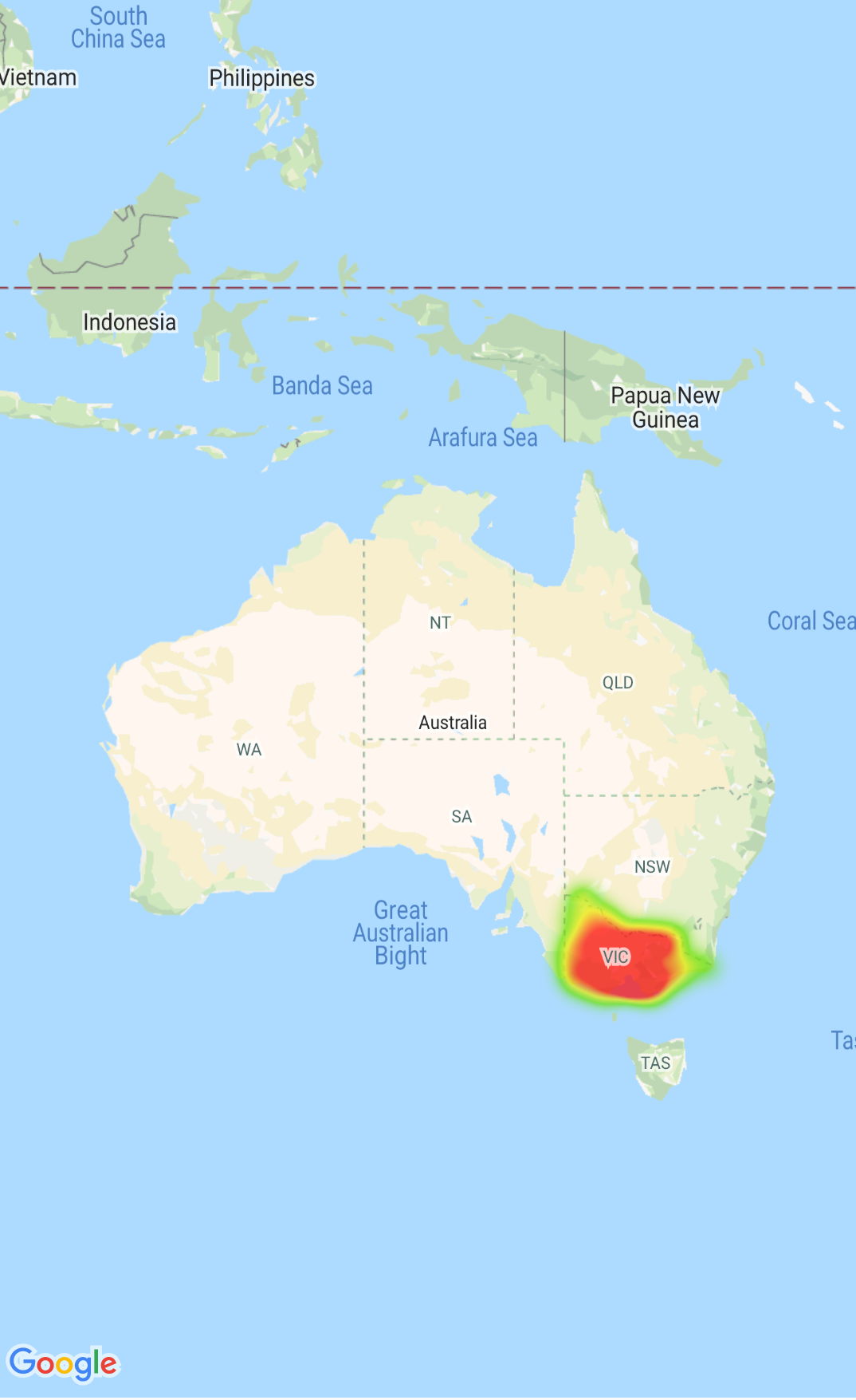
Mapy termiczne
Mapy termiczne ułatwiają widzom zrozumienie rozkładu i względnej intensywności punktów danych na mapie. Zamiast umieszczania znacznika w każdej lokalizacji, mapy termiczne pokazują rozkład danych na podstawie kolorów i kształtów.
Więcej informacji znajdziesz w dokumentacji map termicznych.
Znaczniki niestandardowe
Za pomocą delegata GMUClusterRendererDelegate w GMUDefaultClusterRenderer możesz dostosowywać właściwości znacznika przed i po jego dodaniu do mapy.
Narzędzia do geometrii
Zestaw funkcji narzędziowych obiektów geometrycznych Swift z modułu GMSGeometryUtils w pakiecie Maps SDK na iOS. Za pomocą tych rozszerzeń możesz wykonywać wiele rodzajów operacji geometrycznych, takich jak:
Wyznacz odległość okręgu między współrzędnymi
Ustal, czy współrzędna znajduje się wewnątrz wielokąta
Ustal, czy współrzędne leżą na ścieżce lub w jej pobliżu w ramach określonej tolerancji
[null,null,["Ostatnia aktualizacja: 2025-07-26 UTC."],[[["\u003cp\u003eThe Maps SDK for iOS Utility Library is an open-source library providing advanced features for your maps.\u003c/p\u003e\n"],["\u003cp\u003eThis library offers utilities for marker clustering, quadtrees, KML parsing, GeoJSON rendering, heatmaps, custom markers, and geometry operations.\u003c/p\u003e\n"],["\u003cp\u003eThe library includes a demo app demonstrating the use of each class.\u003c/p\u003e\n"],["\u003cp\u003eAccess the Maps SDK for iOS Utility Library and its documentation on GitHub.\u003c/p\u003e\n"]]],["The Maps SDK for iOS Utility Library offers tools for enhancing maps, including marker clustering via `GMUClusterManager` for managing numerous markers at different zoom levels. It also supports quadtrees for proximity searches, KML and GeoJSON format parsing for rendering geographic data, and heatmaps for visualizing data density. The library allows custom marker properties through `GMUClusterRendererDelegate` and provides geometry utilities (`GMSGeometryUtils`) for tasks like distance calculation and polygon analysis.\n"],null,["Select platform: [Android](/maps/documentation/android-sdk/utility \"View this page for the Android platform docs.\") [iOS](/maps/documentation/ios-sdk/utility \"View this page for the iOS platform docs.\")\n\nLooking for advanced features to add to your maps? The\n[Maps SDK for iOS\nUtility Library](https://github.com/googlemaps/google-maps-ios-utils) on GitHub is an open-source library of classes that are\nuseful for a range of applications. The GitHub repository includes the utility\nclasses and a demo app that illustrates the use of each class.\n\nThe utilities\n\n|----------------------------|----------------------------------------------------------------------------------------------------------------------------------------------------------------------------------------------------------------------------------------------------------------------------------------------------------------------------------------------------------------------------------------------------------------------------------------------------------------------------------------------------------------------------------------------|\n| | Marker Clustering The `GMUClusterManager` helps you manage multiple markers at different zoom levels. This means you can put a large number of markers on a map without making the map hard to read. When a user views the map at a high zoom level, the individual markers show on the map. When the user zooms out to a lower zoom level, the markers gather together into clusters, to make viewing the map easier. For details, see the documentation on the [Marker Clustering](/maps/documentation/ios-sdk/utility/marker-clustering). |\n| No image for this utility. | Quadtree A quadtree is a data structure that's useful for finding points near a single point, by searching inside an area surrounding the point of interest. For details, see the documentation on the [Quadtree](/maps/documentation/ios-sdk/utility/quadtree). |\n| | KML KML is a popular format for rendering geographic data such as points, lines, and polygons. The `GMUKMLParser` lets you parse and render geographic data in the KML format. For details, see the documentation on the [KML](/maps/documentation/ios-sdk/utility/kml). |\n| | Import GeoJSON onto your map You can store features in [GeoJSON](http://geojson.org/) format and use this utility to render them as a layer on top of a map. Render geographic data in the GeoJSON format using `GMUGeoJSONParser` in conjunction with `GMUGeometryRenderer`. For details, see the documentation on the [GeoJSON](/maps/documentation/ios-sdk/utility/geojson). |\n| | Heatmaps Heatmaps make it easy for viewers to understand the distribution and relative intensity of data points on a map. Rather than placing a marker at each location, heatmaps use color and shape to represent the distribution of data. For details, see the documentation on the [Heatmaps](/maps/documentation/ios-sdk/utility/heatmap). |\n| | Custom markers Use the delegate [`GMUClusterRendererDelegate`](https://github.com/googlemaps/google-maps-ios-utils/blob/master/src/Clustering/View/GMUDefaultClusterRenderer.h) on `GMUDefaultClusterRenderer` to customize the properties of a marker before and after it is added to the map. |\n| | Geometry utilities A set of Swift spherical geometry utility functions of the [`GMSGeometryUtils`](/maps/documentation/ios-sdk/reference/objc/Functions) module of the Maps SDK for iOS. Use these extensions to perform many types of geometric operations, including: - Determine the great circle distance between coordinates - Determine if a coordinate is inside a polygon - Determine if a coordinate lies on or near a path within a specified tolerance - Determine the area of this polygon - many others |"]]