هل تبحث عن ميزات متقدّمة لإضافتها إلى خرائطك؟ حزمة SDK للخرائط الخاصة بـ iOS Utility Library على GitHub هي مكتبة مفتوحة المصدر تضم فئات مفيدة
لمجموعة من التطبيقات. يتضمّن مستودع GitHub فئات الخدمات وتطبيقًا تجريبيًا يوضّح استخدام كل فئة.
المرافق
التجميع العنقودي للعلامات
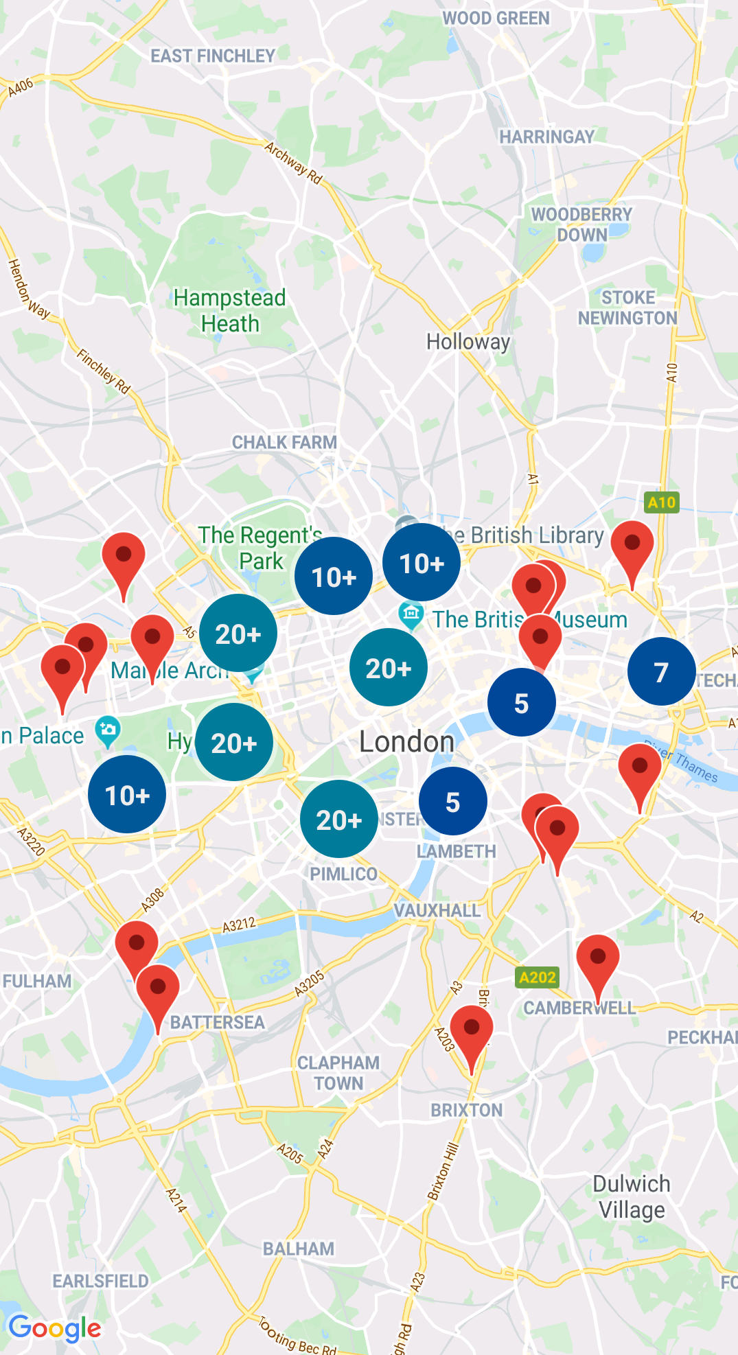
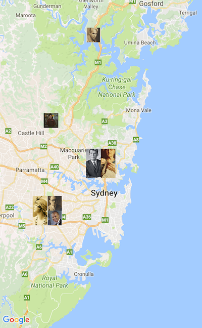
تساعدك GMUClusterManager في إدارة عدّة علامات بمستويات تكبير مختلفة. وهذا يعني أنّه يمكنك وضع عدد كبير من محدّدات المواقع على الخريطة بدون تصعيب قراءة الخريطة. عندما يشاهد المستخدم الخريطة بمستوى تكبير/تصغير عالٍ، تظهر العلامات الفردية على الخريطة. وعندما يصغر المستخدم إلى مستوى أقل، تتجمع العلامات معًا في مجموعات لتسهيل عرض الخريطة.
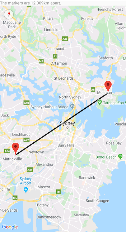
الشجرة الرباعية هي بنية بيانات مفيدة للعثور على نقاط بالقرب من نقطة واحدة، من خلال البحث داخل منطقة محيطة بنقطة الاهتمام.
لمعرفة التفاصيل، يُرجى الاطّلاع على المستندات على
Quadtree.
KML
تنسيق KML هو تنسيق شائع لعرض البيانات الجغرافية مثل النقاط والخطوط والمضلّعات. تتيح لك GMUKMLParser
تحليل البيانات الجغرافية وعرضها بتنسيق KML.
لمعرفة التفاصيل، يُرجى الاطّلاع على المستندات حول
KML.
استيراد GeoJSON إلى خريطتك
يمكنك تخزين العناصر بتنسيق GeoJSON
واستخدام هذه الأداة لعرضها كطبقة أعلى الخريطة.
يمكنك عرض البيانات الجغرافية بتنسيق GeoJSON باستخدام GMUGeoJSONParser جنبًا إلى جنب مع GMUGeometryRenderer.
للحصول على تفاصيل، يُرجى الاطّلاع على المستندات على GeoJSON.
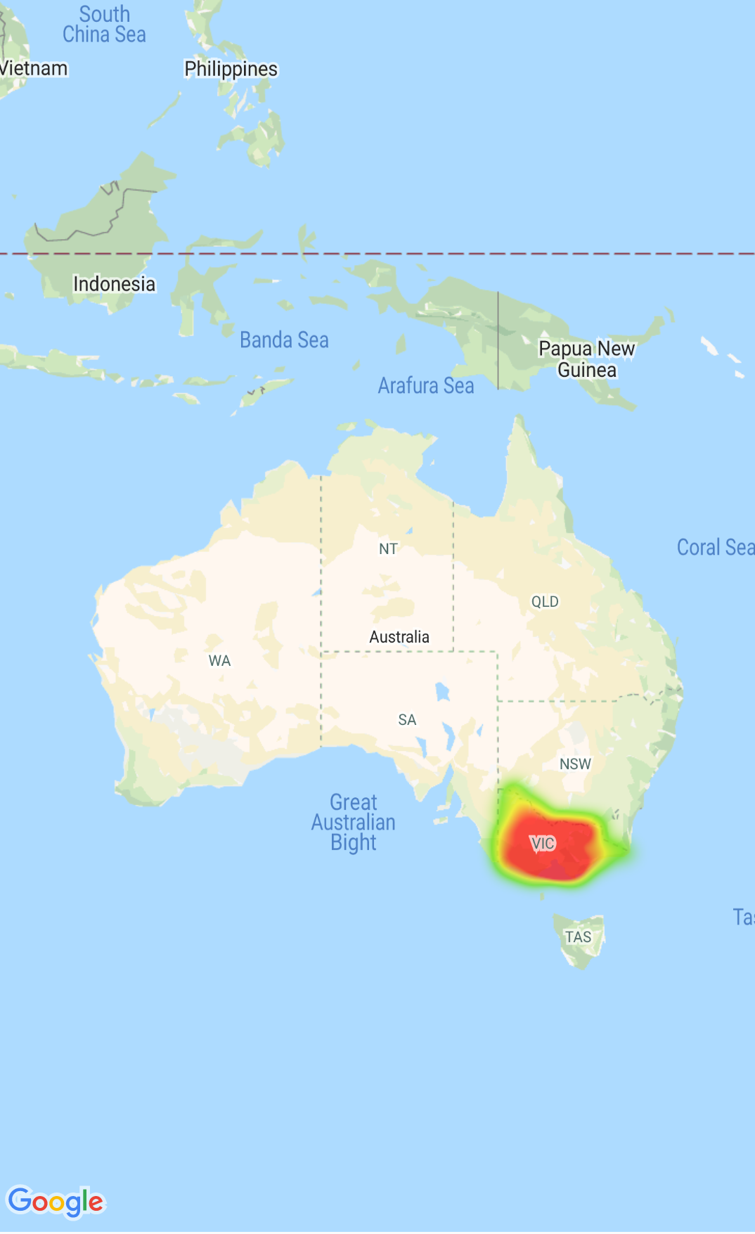
خرائط التمثيل اللوني
تسهّل خرائط التمثيل اللوني على المشاهدين فهم توزيع نقاط البيانات وكثافتها النسبية على الخريطة. بدلاً من وضع علامة على كل موقع جغرافي، تستخدم خرائط التمثيل اللوني اللون والشكل لتمثيل توزيع البيانات.
يمكنك استخدام التفويض GMUClusterRendererDelegate
في GMUDefaultClusterRenderer لتخصيص خصائص العلامة قبل
وبعد إضافته إلى الخريطة.
أدوات مساعدة للهندسة
هي مجموعة من دوال Swift للهندسة الكروية ضمن وحدة
GMSGeometryUtils
من حزمة تطوير البرامج (SDK) لـ "خرائط Google" لنظام التشغيل iOS. استخدِم هذه الإضافات لتنفيذ العديد من أنواع العمليات الهندسية، بما في ذلك:
تحديد المسافة الكبيرة بين الدائرة والإحداثيات
تحديد ما إذا كانت الإحداثيات داخل مضلّع
تحديد ما إذا كانت الإحداثيات تقع على أو بالقرب من مسار ضمن مقدار تفاوت محدد
تاريخ التعديل الأخير: 2026-04-01 (حسب التوقيت العالمي المتفَّق عليه)
[null,null,["تاريخ التعديل الأخير: 2026-04-01 (حسب التوقيت العالمي المتفَّق عليه)"],[],["The Maps SDK for iOS Utility Library offers tools for enhancing maps, including marker clustering via `GMUClusterManager` for managing numerous markers at different zoom levels. It also supports quadtrees for proximity searches, KML and GeoJSON format parsing for rendering geographic data, and heatmaps for visualizing data density. The library allows custom marker properties through `GMUClusterRendererDelegate` and provides geometry utilities (`GMSGeometryUtils`) for tasks like distance calculation and polygon analysis.\n"]]