نظرة عامة على العلامات
تنظيم صفحاتك في مجموعات
يمكنك حفظ المحتوى وتصنيفه حسب إعداداتك المفضّلة.
اختيار النظام الأساسي:
Android
iOS
JavaScript
استخدِم علامات لعرض مواقع جغرافية فردية على خريطة. يوضّح لك هذا الدليل كيفية استخدام العلامات المتقدّمة. باستخدام العلامات المتقدّمة، يمكنك إنشاء علامات عالية الأداء وتخصيصها، وإنشاء علامات يسهل الوصول إليها وتستجيب لأحداث النقر على نموذج المستند (DOM) وإدخال لوحة المفاتيح. لإجراء المزيد من التخصيص، تتيح العلامات المتقدّمة استخدام HTML وCSS مخصّصَين، بما في ذلك إمكانية إنشاء علامات مخصّصة بالكامل. بالنسبة إلى التطبيقات الثلاثية الأبعاد، يمكنك التحكّم في الارتفاع الذي يظهر عنده العلامة.
تتوفّر العلامات المتقدّمة على كلّ من خرائط الصور النقطية وخرائط المتجهات (مع أنّ بعض الميزات غير متاحة على خرائط الصور النقطية).
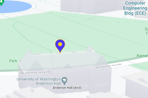
يجب توفير رقم تعريف خريطة لاستخدام "محدّدات المواقع المتقدّمة" (يمكن استخدام DEMO_MAP_ID
).
بدء استخدام العلامات المتقدّمة
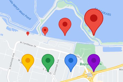
تخصيص اللون والمقياس وصورة الرمز
تخصيص خلفية العلامة التلقائية ورمزها وحدودها
ولونها، وتعديل حجم العلامة
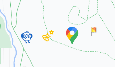
استبدِل رمز العلامة التلقائي بصورة SVG أو PNG مخصّصة.
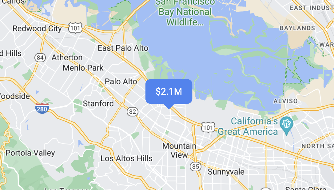
إنشاء علامات HTML مخصّصة
استخدِم HTML وCSS مخصّصَين لإنشاء علامات تفاعلية مميّزة بصريًا، وإنشاء رسوم متحركة.
جعل العلامات تستجيب للأحداث الناتجة عن النقر ولوحة المفاتيح
اجعل العلامة تستجيب للنقرات وأحداث لوحة المفاتيح من خلال إضافة أداة معالجة الأحداث click
.
function initMap() {
const map = new google.maps.Map(document.getElementById('map'), {
center: {lat: 37.4239163, lng: -122.0947209},
zoom: 17,
mapId: 'DEMO_MAP_ID',
});
const marker = new google.maps.marker.AdvancedMarkerElement({
map,
position: {lat: 37.4239163, lng: -122.0947209},
});
marker.addListener('click', ({domEvent, latLng}) => {
const {target} = domEvent;
// Handle the click event.
// ...
});
}
ضبط ارتفاع العلامة وسلوك التصادم
اضبط الارتفاع لعلامة كي تظهر بشكل صحيح مع عناصر الخريطة الثلاثية الأبعاد، وحدِّد طريقة تصرّف العلامة عند تعارضها مع علامة أخرى أو تصنيف خريطة. لا تتوفّر إمكانية تحديد ارتفاع العلامة إلا على الخرائط المتجهة.
الخطوة التالية
إنّ محتوى هذه الصفحة مرخّص بموجب ترخيص Creative Commons Attribution 4.0 ما لم يُنصّ على خلاف ذلك، ونماذج الرموز مرخّصة بموجب ترخيص Apache 2.0. للاطّلاع على التفاصيل، يُرجى مراجعة سياسات موقع Google Developers. إنّ Java هي علامة تجارية مسجَّلة لشركة Oracle و/أو شركائها التابعين.
تاريخ التعديل الأخير: 2025-08-17 (حسب التوقيت العالمي المتفَّق عليه)
[null,null,["تاريخ التعديل الأخير: 2025-08-17 (حسب التوقيت العالمي المتفَّق عليه)"],[[["\u003cp\u003eAdvanced markers offer highly performant and customizable options for displaying single locations on Google Maps, including custom HTML and CSS for unique designs.\u003c/p\u003e\n"],["\u003cp\u003eThey are accessible, responding to DOM click events and keyboard input for enhanced user interaction.\u003c/p\u003e\n"],["\u003cp\u003eCustomization options include changing color, scale, icon image, and creating custom HTML markers with interactive elements and animations.\u003c/p\u003e\n"],["\u003cp\u003eAltitude control is available for 3D applications, enabling precise marker placement in three-dimensional spaces, although this feature is limited to vector maps.\u003c/p\u003e\n"],["\u003cp\u003eAdvanced markers are compatible with both raster and vector maps, requiring a map ID for implementation, and offer improved performance compared to legacy markers.\u003c/p\u003e\n"]]],["Advanced markers allow customization of map markers, including color, scale, and icons (SVG/PNG). Users can employ custom HTML and CSS for unique designs and animations. Markers can be made interactive via `click` event listeners, handling user clicks and keyboard input. Altitude and collision behavior can be defined for 3D maps. A map ID, like `DEMO_MAP_ID`, is needed, and these advanced markers are available on Android, iOS, and JavaScript platforms, supporting both raster and vector maps.\n"],null,["Select platform: [Android](/maps/documentation/android-sdk/advanced-markers/overview \"View this page for the Android platform docs.\") [iOS](/maps/documentation/ios-sdk/advanced-markers/overview \"View this page for the iOS platform docs.\") [JavaScript](/maps/documentation/javascript/advanced-markers/overview \"View this page for the JavaScript platform docs.\")\n\n\u003cbr /\u003e\n\nUse markers to display single locations on a map. This guide shows you how to\nuse advanced markers. With\nadvanced markers you can create and customize highly\nperformant markers, and make accessible markers that respond to DOM click events\nand keyboard input. For even deeper customization,\nadvanced markers supports the use of custom HTML and CSS,\nincluding the ability to create completely custom markers. For 3D applications\nyou can control the altitude at which a marker appears.\nAdvanced markers are supported on both raster and vector maps (though some features are not available on raster maps).\nA map ID is required to use Advanced Markers (the `DEMO_MAP_ID` can be used).\n| **Tip:** If your map uses [legacy markers](/maps/documentation/javascript/markers), consider [migrating to advanced markers](/maps/documentation/javascript/advanced-markers/migration).\n\n[Get started with advanced markers](/maps/documentation/javascript/advanced-markers/start)\n\nCustomize color, scale, and icon image\n\nCustomize the default marker's background, glyph, and border\ncolor, and adjust marker size.\n\nReplace the default marker icon with a custom SVG or PNG image.\n\nCreate custom HTML markers\n\nUse custom HTML and CSS to create visually distinctive\ninteractive markers, and create animations.\n\nMake markers respond to click and keyboard events\n\nMake a marker respond to clicks and keyboard events by adding a\n`click` event listener. \n\n```javascript\nfunction initMap() {\n const map = new google.maps.Map(document.getElementById('map'), {\n center: {lat: 37.4239163, lng: -122.0947209},\n zoom: 17,\n mapId: 'DEMO_MAP_ID',\n });\n\n const marker = new google.maps.marker.AdvancedMarkerElement({\n map,\n position: {lat: 37.4239163, lng: -122.0947209},\n });\n\n marker.addListener('click', ({domEvent, latLng}) =\u003e {\n const {target} = domEvent;\n // Handle the click event.\n // ...\n });\n}\n```\n\nSet marker altitude and collision behavior\n\nSet the altitude for a marker to make it appear correctly with\n3D map elements, and specify how a marker should behave when it collides with\nanother marker or map label. Marker altitude is only supported on vector maps.\n\nNext step\n\n- [Get started with advanced markers](/maps/documentation/javascript/advanced-markers/start)"]]