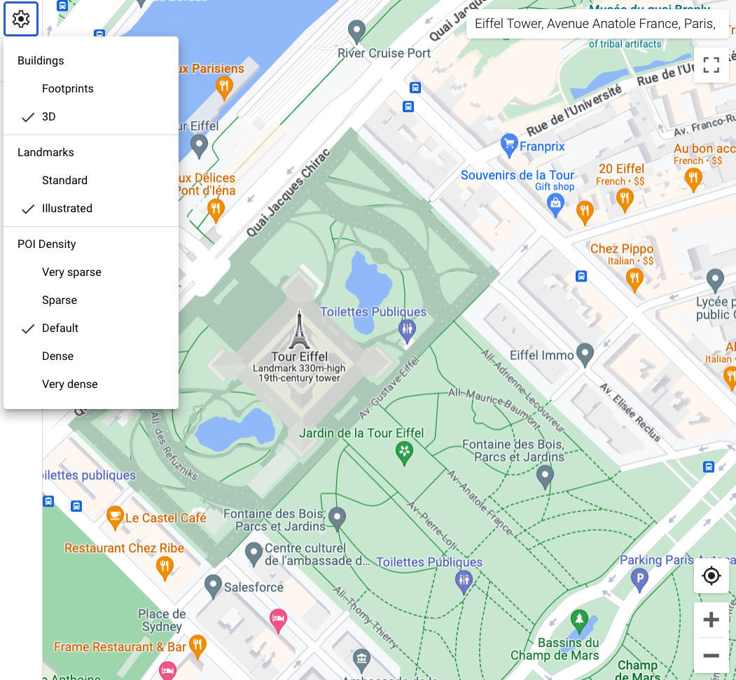
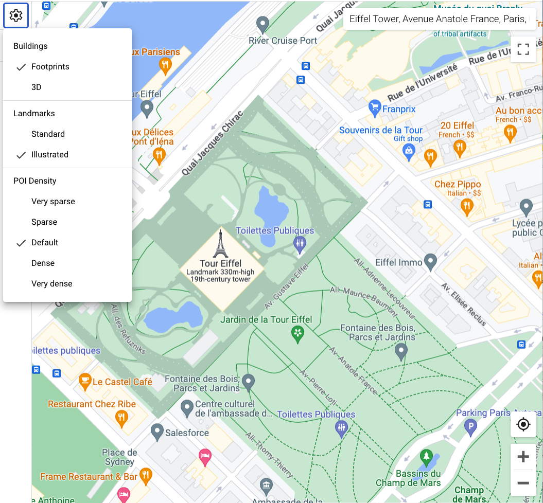
[null,null,["最后更新时间 (UTC):2025-08-27。"],[[["\u003cp\u003eThe building feature is available on Android, iOS, Maps JavaScript API, and Maps Static.\u003c/p\u003e\n"],["\u003cp\u003e3D building styles are displayed by default on vector maps at zoom level 17 and higher.\u003c/p\u003e\n"],["\u003cp\u003eThe Footprints style displays 2D outlines of buildings for a simpler look.\u003c/p\u003e\n"],["\u003cp\u003eYou can customize fill and stroke colors for both 3D and Footprints building styles, except for stroke color and width on 3D.\u003c/p\u003e\n"],["\u003cp\u003eBuilding style can be toggled between 3D and Footprints in the Style Editor.\u003c/p\u003e\n"]]],["Vector maps on Android, iOS, and JavaScript offer two building styles: 3D and Footprints. 3D style, enabled by default at zoom level 17 and higher, displays buildings with a 3D outline; stroke customization is unavailable. Footprints style shows 2D building outlines. To change the style, access the Style Editor, select the \"Buildings\" feature under \"Landscape, Human-made,\" and choose either 3D or Footprints. Color customizations for fill and stroke are available for both types, excluding stroke for the 3D style.\n"],null,["Select platform: [Android](/maps/documentation/android-sdk/cloud-customization/building-style \"View this page for the Android platform docs.\") [iOS](/maps/documentation/ios-sdk/cloud-customization/building-style \"View this page for the iOS platform docs.\") [JavaScript](/maps/documentation/javascript/cloud-customization/building-style \"View this page for the JavaScript platform docs.\") [Web Service](/maps/documentation/maps-static/cloud-customization/building-style \"View this page for the Web Service platform docs.\")\n\n\u003cbr /\u003e\n\n| Availability: This feature is visible on Android, iOS, Maps JavaScript API, and Maps Static.\n\nWhen you use a vector map in Android, iOS, or JavaScript,\nbuildings use the **3D** style beginning at zoom level 17 and higher by\ndefault. If you want to display only the 2D\noutlines of buildings for a cleaner appearance, select the **Footprints** style.\n| **Experimental:** This feature can only be set for light map styles. When you link a light map style that has custom building styles to a map ID, these styles also apply to the dark map style.\n\nSet the building style\n\n1. Zoom in on the map enough to see buildings shown.\n2. In the Map feature pane, select the gear icon to open the **Settings** pane. \n3. **To display buildings with a 3D outline** , select **3D**:\n\n | **Note:** Stroke color and stroke width customizations are not available for 3D style buildings.\n\n **To display buildings with a 2D footprint** , select **Footprints**:"]]