- 数据集可用性
- 2023-02-11T00:00:00Z–2023-02-12T00:00:00Z
- 数据集提供商
- 联合国地理空间信息
- 标签
说明
联合国地理空间数据(简称“地理数据”)是联合国提供的全球地理空间数据集。
联合国地理位置数据旨在帮助联合国准备地图资料,其中包含几何图形、属性和标签,以便根据联合国政策和实践充分描绘地理要素并为其命名,从而准备地图。
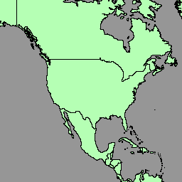
地理空间数据集包含国家/地区的多边形/区域 (BNDA_simplified)。如需了解详情,请参阅此页面。
表架构
表架构
| 名称 | 类型 | 说明 |
|---|---|---|
| admiso | STRING | 相应区域管理员的 ISO-3166 alpha-3 代码。 |
| geo_cd | INT | 联合国 M49 地理区域代码 |
| georeg | STRING | 联合国 M49 地理区域 |
| globalid | STRING | GlobalID |
| globalid_1 | STRING | GlobalID_1 |
| int_cd | STRING | 联合国 M49 中间区域代码;如果未设置,则为 0 |
| intreg | STRING | 联合国 M49 中介区域;如果“int_cd”为 0,则为空 |
| iso2cd | STRING | ISO-3166 alpha-2 代码 |
| iso3cd | STRING | ISO-3166 alpha-3 代码 |
| lbl_en | STRING | 地图标签(英文) |
| lbl_fr | STRING | 地图标签(法语) |
| m49_cd | STRING | 联合国 M49 国家/地区代码 |
| nam_en | STRING | 名称(英文) |
| name_fr | STRING | 名称(法语) |
| objectid | STRING | 内部对象 ID 号 |
| st_area_sh | 双精度 | 几何图形的总面积 |
| stscod | INT | 主权状态代码:
|
| sub_cd | INT | 联合国 M49 子区域代码 |
| subreg | STRING | 联合国 M49 子区域 |
使用条款
使用条款
联合国地理空间数据是全球地理空间数据库,可供联合国秘书处和外部用户使用。该数据集可用于各种用途,但不得用于商业用途。联合国保留对数据的所有权,用户必须在自己的作品中注明联合国为数据来源。数据“按原样”提供,不提供任何保证,联合国对因使用这些数据而造成的任何损害或损失不承担任何责任。如需了解详情,请参阅此页面。
使用 Earth Engine 探索
代码编辑器 (JavaScript)
var dataset = ee.FeatureCollection('UN/Geodata/BNDA_simplified/current');

var styleParams = {
  fillColor: 'b5ffb4',
  color: '00909F',
  width: 1.0,
};

dataset = dataset.style(styleParams);
Map.centerObject(dataset);
Map.addLayer(dataset, {}, 'BNDA simplified');
