-
USGS 3DEP 10m National Map Seamless(1/3 秒)
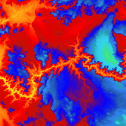
米国全土の 3DEP DEM データセットです。米国本土 48 州、ハワイ、米国領土を完全にカバーしています。アラスカ州の地図は現在一部のみが利用可能ですが、アラスカ州地図作成イニシアチブの一環として、州全域をカバーするよう拡大されています。グラウンドのスペースは… 3dep dem elevation elevation-topography geophysical topography -
USGS 3DEP 1m 全国地図
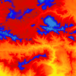
これは、3D Elevation Program(3DEP)の 1 メートルのピクセルサイズの画像のタイル コレクションです。3DEP データは、The National Map の標高レイヤとして機能し、米国における地球科学研究やマッピング アプリケーションの基礎となる標高情報を提供します。 3dep dem elevation elevation-topography geophysical topography -
USGS 3DEP 全国地図空間メタデータ 1/3 秒弧(10 m)
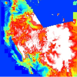
これは、3DEP 10m DEM アセットのメタデータを含むテーブルです。作業単位範囲空間メタデータ(WESM)には、現在の LiDAR データの可用性と、LiDAR の品質レベル、データ取得日、プロジェクト レベルのメタデータへのリンクなど、LiDAR プロジェクトに関する基本情報が含まれています。詳細を表示… 3dep elevation-topography table usgs
Datasets tagged 3dep in Earth Engine
[null,null,[],[[["\u003cp\u003eThe USGS 3DEP provides seamless 10m resolution elevation data for the conterminous U.S., Hawaii, and U.S. territories, with expanding coverage for Alaska.\u003c/p\u003e\n"],["\u003cp\u003eMetadata for the 3DEP 10m DEM is available, including lidar data availability, quality level, acquisition dates, and project-level metadata links.\u003c/p\u003e\n"],["\u003cp\u003eThe USGS 3DEP also offers a tiled collection of 1m resolution elevation images, serving as the elevation layer of The National Map for various applications.\u003c/p\u003e\n"]]],["The USGS 3DEP dataset offers seamless DEM data for the US, including the 48 contiguous states, Hawaii, and US territories, with partial coverage of Alaska that is being expanded. This data is available at 10m and 1m resolution. The 10m DEM has corresponding metadata table for lidar data availability. This 3DEP information serves as the elevation layer for the National Map and supports earth science studies and mapping applications.\n"],null,["# Datasets tagged 3dep in Earth Engine\n\n-\n\n |-------------------------------------------------------------------------------------------------------------------------------------------------------------------------------------------------------------------------------------------------------------------------------------------------------------------------|\n | [### USGS 3DEP 10m National Map Seamless (1/3 Arc-Second)](/earth-engine/datasets/catalog/USGS_3DEP_10m_collection) |\n | This is the seamless 3DEP DEM dataset for the U.S. with full coverage of the 48 conterminous states, Hawaii, and U.S. territories. Alaska coverage is partially available now and is being expanded to statewide coverage as part of the Alaska Mapping Initiative. Ground spacing is ... |\n | [3dep](/earth-engine/datasets/tags/3dep) [dem](/earth-engine/datasets/tags/dem) [elevation](/earth-engine/datasets/tags/elevation) [elevation-topography](/earth-engine/datasets/tags/elevation-topography) [geophysical](/earth-engine/datasets/tags/geophysical) [topography](/earth-engine/datasets/tags/topography) |\n\n-\n\n |-------------------------------------------------------------------------------------------------------------------------------------------------------------------------------------------------------------------------------------------------------------------------------------------------------------------------|\n | [### USGS 3DEP 1m National Map](/earth-engine/datasets/catalog/USGS_3DEP_1m) |\n | This is a tiled collection of images with 1m pixel size from the 3D Elevation Program (3DEP). The 3DEP data holdings serve as the elevation layer of The National Map and provide foundational elevation information for earth science studies and mapping applications in the United ... |\n | [3dep](/earth-engine/datasets/tags/3dep) [dem](/earth-engine/datasets/tags/dem) [elevation](/earth-engine/datasets/tags/elevation) [elevation-topography](/earth-engine/datasets/tags/elevation-topography) [geophysical](/earth-engine/datasets/tags/geophysical) [topography](/earth-engine/datasets/tags/topography) |\n\n-\n\n |--------------------------------------------------------------------------------------------------------------------------------------------------------------------------------------------------------------------------------------------------------------------------------------------------------------|\n | [### USGS 3DEP National Map Spatial Metadata 1/3 Arc-Second (10m)](/earth-engine/datasets/catalog/USGS_3DEP_10m_metadata) |\n | This is a table with metadata for the 3DEP 10m DEM asset. The Work unit Extent Spatial Metadata (WESM) contains current lidar data availability and basic information about lidar projects, including lidar quality level, data acquisition dates, and links to project-level metadata. See more details ... |\n | [3dep](/earth-engine/datasets/tags/3dep) [elevation-topography](/earth-engine/datasets/tags/elevation-topography) [table](/earth-engine/datasets/tags/table) [usgs](/earth-engine/datasets/tags/usgs) |"]]