-
GEM-15: Near-Global Surface and Terrain Elevation Models (15m) (Experimental)

Google's Near-Global Elevation Models at 15m (GEM-15) is an experimental (under review) near-global elevation dataset at 15m grid spacing derived from sub-meter optical stereo satellite imagery. The dataset is built from optical stereo imagery acquired through 2024 (primarily 2022–2024 30cm Pléiades Neo imagery, supplemented by … climate-and-sustainability dem elevation elevation-topography google height -
TUBerlin/BigEarthNet/v1
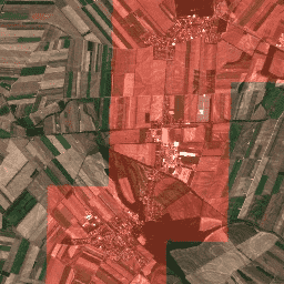
BigEarthNet is a new large-scale Sentinel-2 benchmark archive, consisting of 590,326 Sentinel-2 image patches. To construct BigEarthNet, 125 Sentinel-2 tiles were acquired between June 2017 and May 2018 over the 10 countries (Austria, Belgium, Finland, Ireland, Kosovo, Lithuania, Luxembourg, Portugal, Serbia, Switzerland) of Europe. All … copernicus landuse-landcover ml sentinel
Datasets tagged ml in Earth Engine
[null,null,[],[],[]]