-
Google Street View Air Quality : cartographie haute résolution de la pollution atmosphérique en Californie

Cet ensemble de données vectorielles volumineux contient des cartes haute résolution de la pollution atmosphérique (concentrations de NO, NO2, O3, CH4, CO2, BC, PN2.5 et UFP) en Californie entre juin 2015 et juin 2019. L'ensemble de données se compose de mesures collectées à l'aide de quatre véhicules Google Street View équipés de la plate-forme mobile d'analyse de la qualité de l'air Aclima. air-quality atmosphere nitrogen-dioxide pollution table -
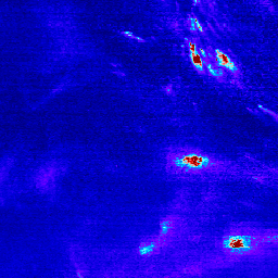
Sentinel-5P NRTI NO2 : dioxyde d'azote en temps quasi réel

NRTI/L3_NO2 Cet ensemble de données fournit des images haute résolution en temps quasi réel des concentrations de NO2. Les oxydes d'azote (NO2 et NO) sont des gaz trace importants dans l'atmosphère terrestre, présents à la fois dans la troposphère et la stratosphère. Ils pénètrent dans l'atmosphère à la suite d'activités anthropiques (notamment la combustion de combustibles fossiles, … air-quality atmosphere copernicus esa eu knmi -
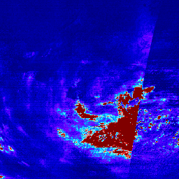
Sentinel-5P OFFL NO2 : dioxyde d'azote hors connexion

OFFL/L3_NO2 Cet ensemble de données fournit des images hors connexion haute résolution des concentrations de NO2. Les oxydes d'azote (NO2 et NO) sont des gaz trace importants dans l'atmosphère terrestre, présents à la fois dans la troposphère et la stratosphère. Ils pénètrent dans l'atmosphère à la suite d'activités anthropiques (notamment la combustion de combustibles fossiles… air-quality atmosphere copernicus esa eu knmi -
TEMPO gridded NO2 (QA filtered) tropospheric and stratospheric columns V03
Les fichiers de niveau 3 de dioxyde d'azote fournissent des informations sur les gaz à l'état de traces sur une grille régulière couvrant le champ d'observation TEMPO pour les observations TEMPO nominales. Les fichiers de niveau 3 sont obtenus en combinant les informations de tous les fichiers de niveau 2 constituant un cycle d'analyse TEMPO est-ouest. Les rasters contiennent… air-quality nasa nitrogen-dioxide pollution satellite-imagery tropomi -
TEMPO gridded NO2 tropospheric and stratospheric columns V03
Les fichiers de niveau 3 de dioxyde d'azote fournissent des informations sur les gaz à l'état de traces sur une grille régulière couvrant le champ d'observation TEMPO pour les observations TEMPO nominales. Les fichiers de niveau 3 sont obtenus en combinant les informations de tous les fichiers de niveau 2 constituant un cycle d'analyse TEMPO est-ouest. Les rasters contiennent… air-quality nasa nitrogen-dioxide pollution satellite-imagery tropomi
Datasets tagged nitrogen-dioxide in Earth Engine
[null,null,[],[],[]]